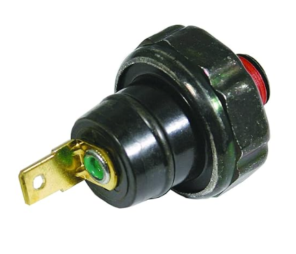
I felt like the Kt745 Command 7000 Series 747 cc engine on my Bad Boy Zero Turn mower needed a low oil pressure safety shut off. These engines come with the feature if they were sold for a stationary application, but don’t offer the functionality on mowers, even though I know my older mower with a Kohler v-twin had the feature. The engine harness already has the wire for the switch.
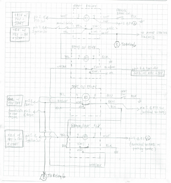
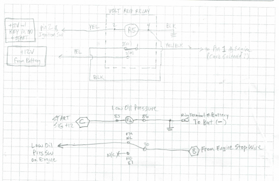
I installed the pressure switch and tested to figure out what kind of control circuit it needed to allow for startup. (at start up, there is no pressure for the first few seconds). I settled on adding a new relay that isolated the switch while the starter is engaged, then adds the switch to the motor kill circuit after the starter is not in use. Here are the schematics of the new relay along with the other relays.
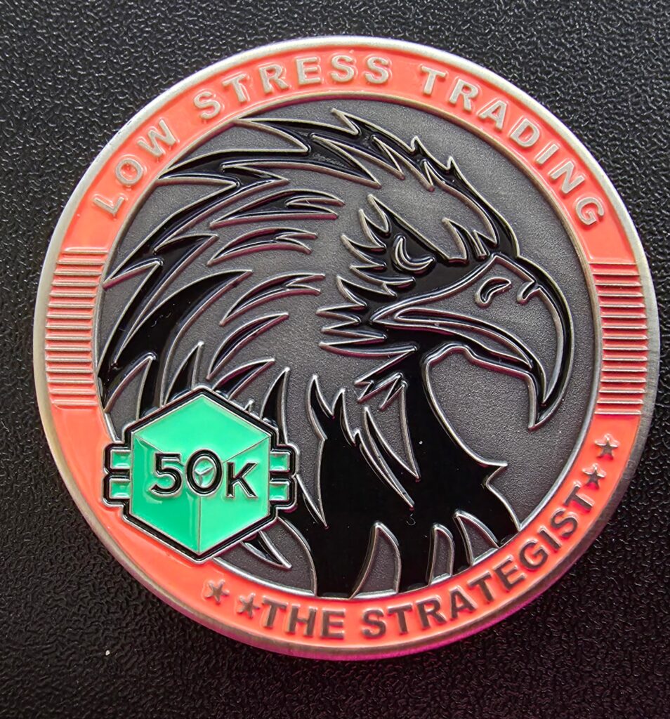
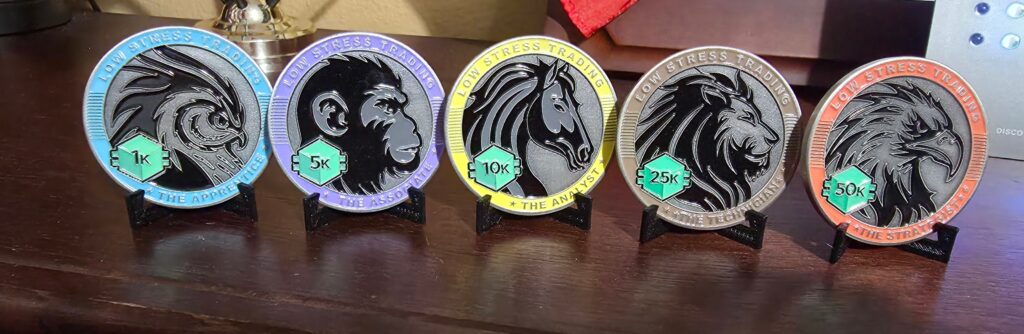
Today I received my 50k coin from LST, which recognizes I’ve made $50,000 using the framework since January. The goal is to make 1% per week using only 2 hours of effort. 1% doesn’t sound like much, but when you compound it weekly, it works out to be 68% return in a year, which is life-changing. The average 401k retirement account makes 5 to 8% annually, and when you adjust for inflation it is more like 4 to 6%. Earning 1% per week enables me to retire in a few years if I want to!
I was skeptical of the actual performance I would have, because I’ve done option trading in the past and it didn’t work out that great. I started with a smaller amount of money in December, then in January I started using the money in my retirement account. I’m enthusiastic about this framework as it is easy to learn and understand. My actual results are great, despite the fact I’ve made multiple mistakes while trading. If you want to know more, give me a call and I’ll explain it, or if you are interested in purchasing the framework for yourself, please use my affiliate link at https://lowstressoptions.com?ref=GALLIMORE
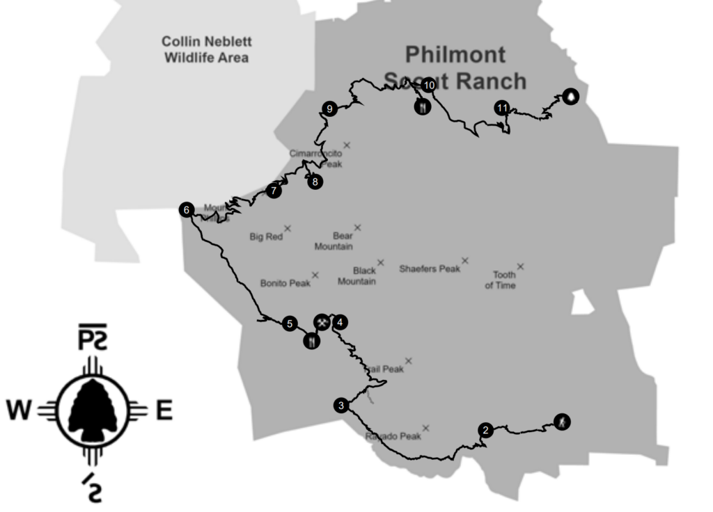
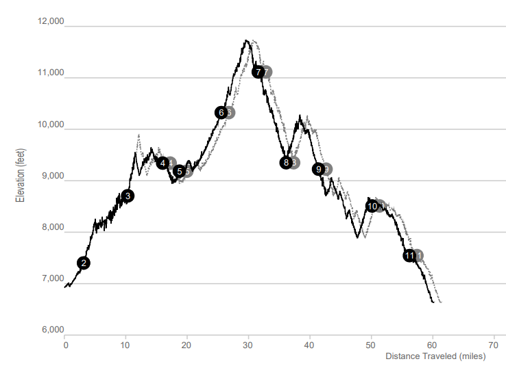
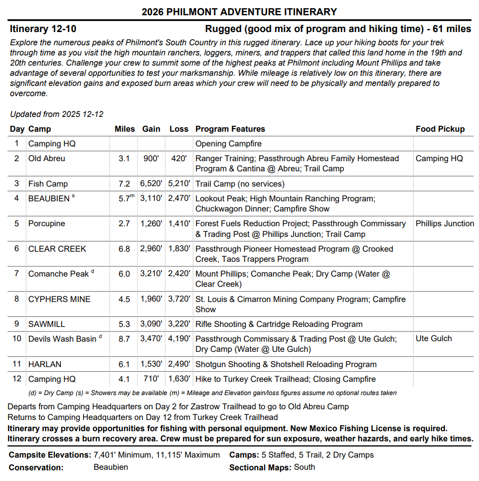
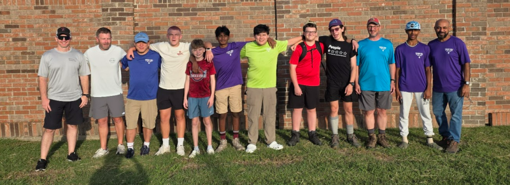
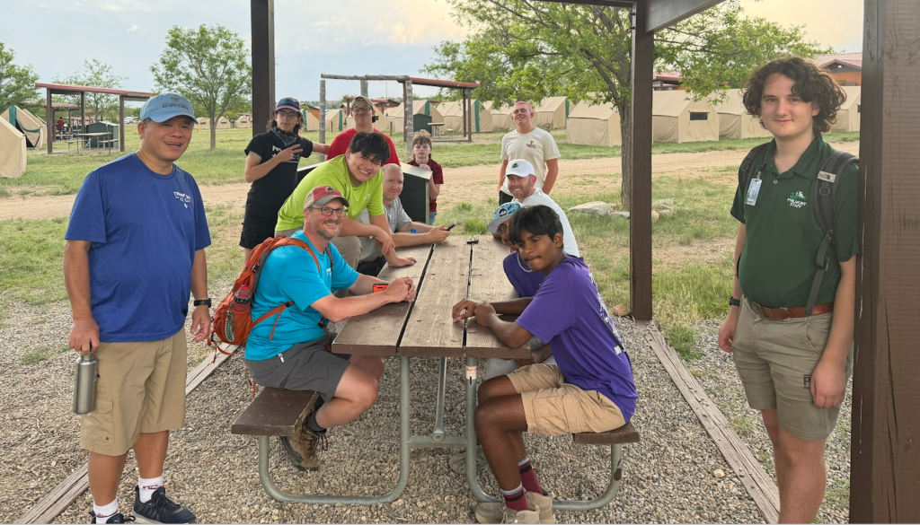
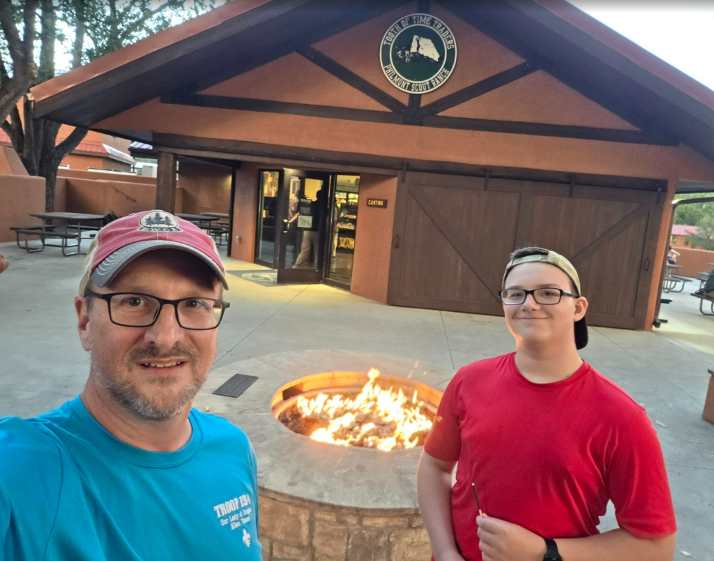
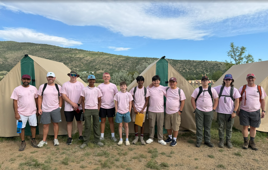
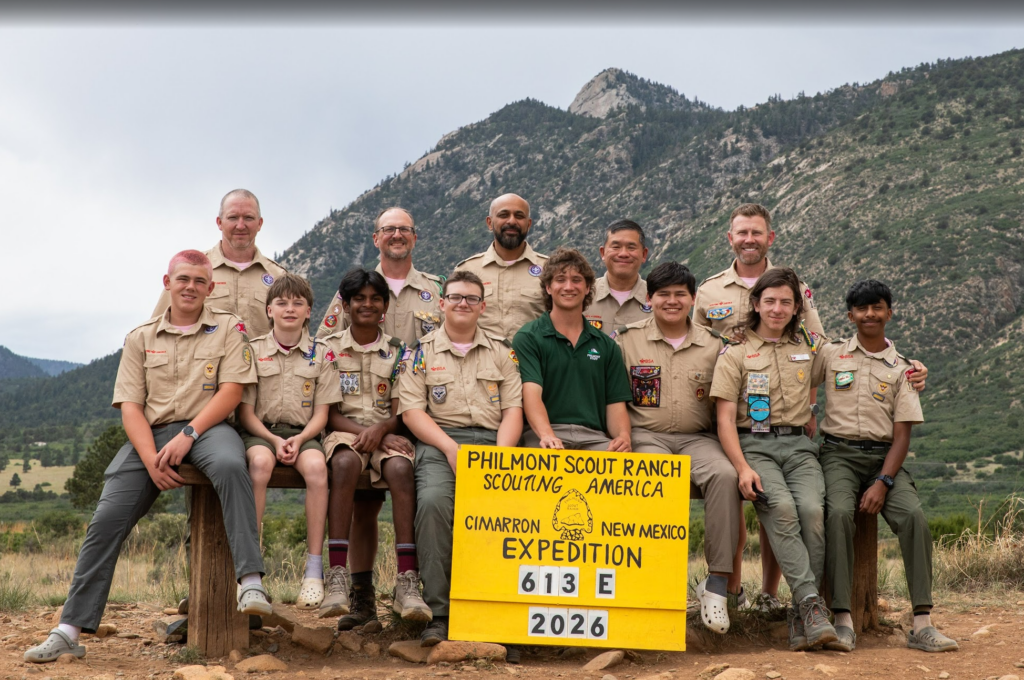
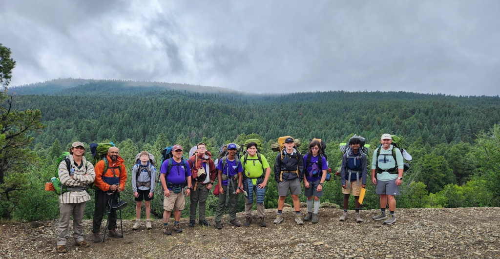
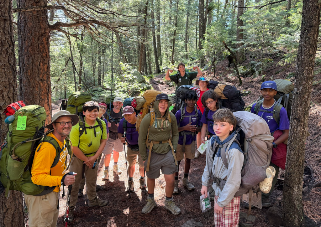
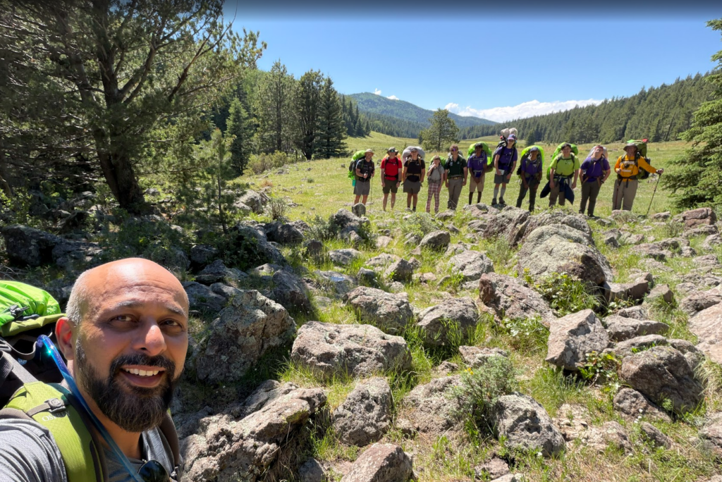
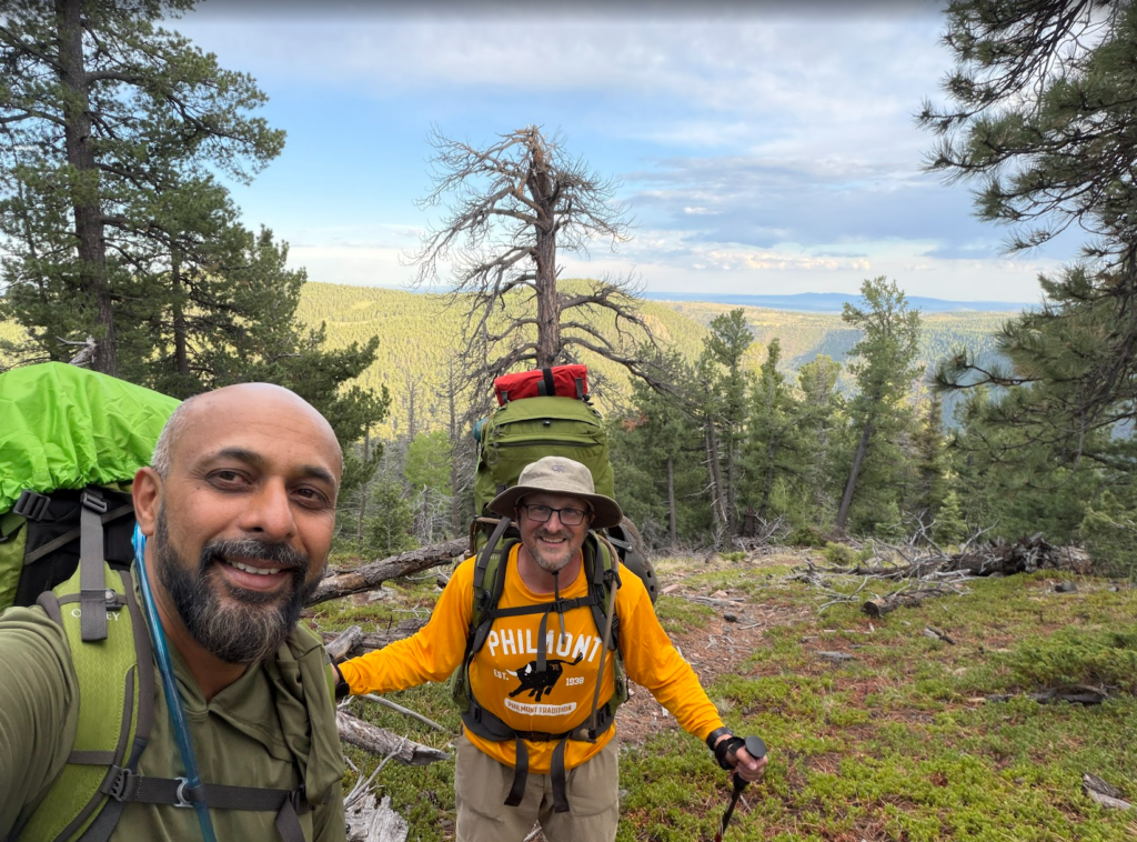
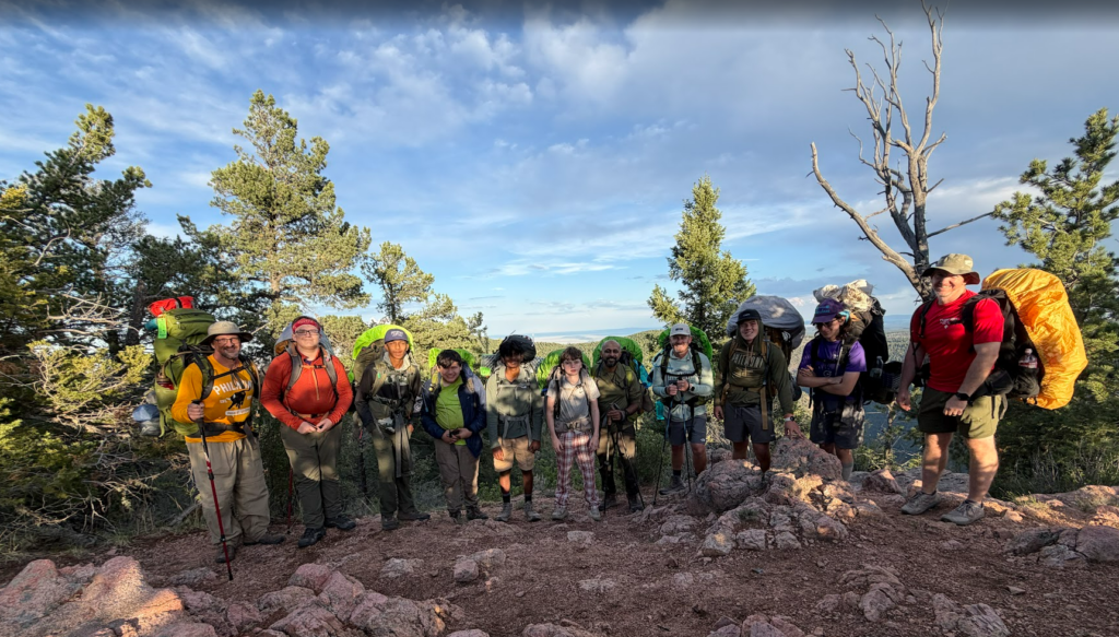
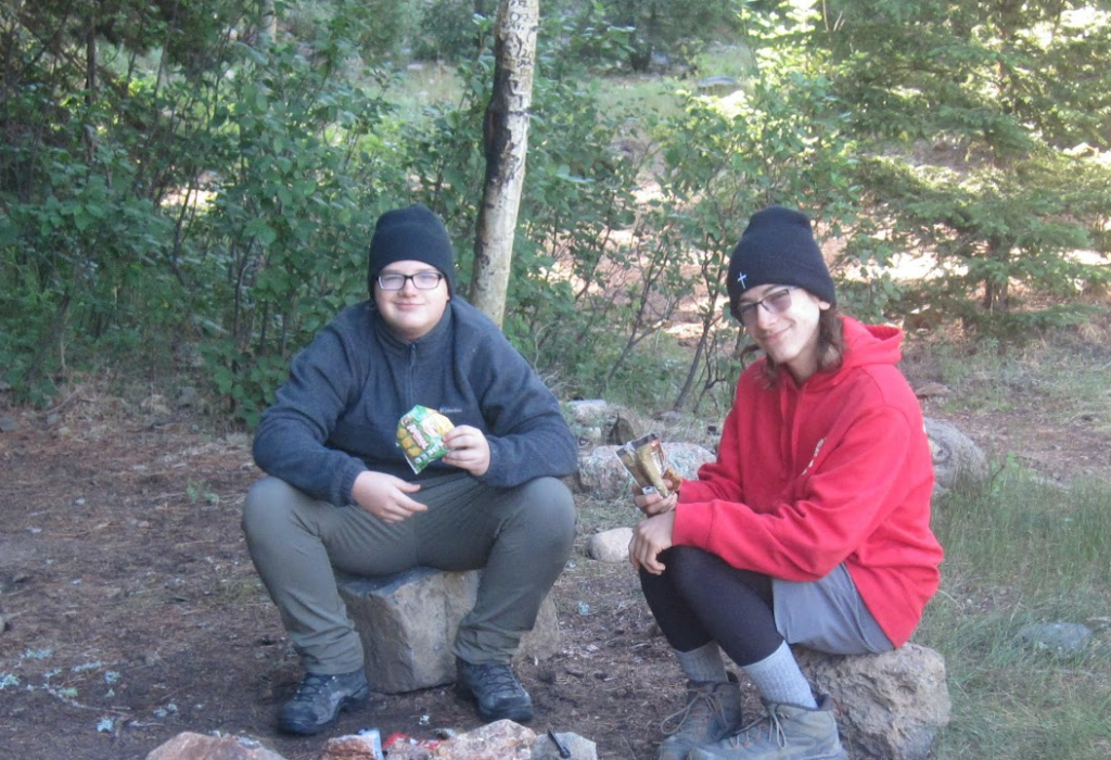
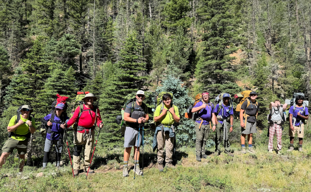
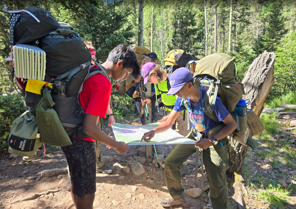
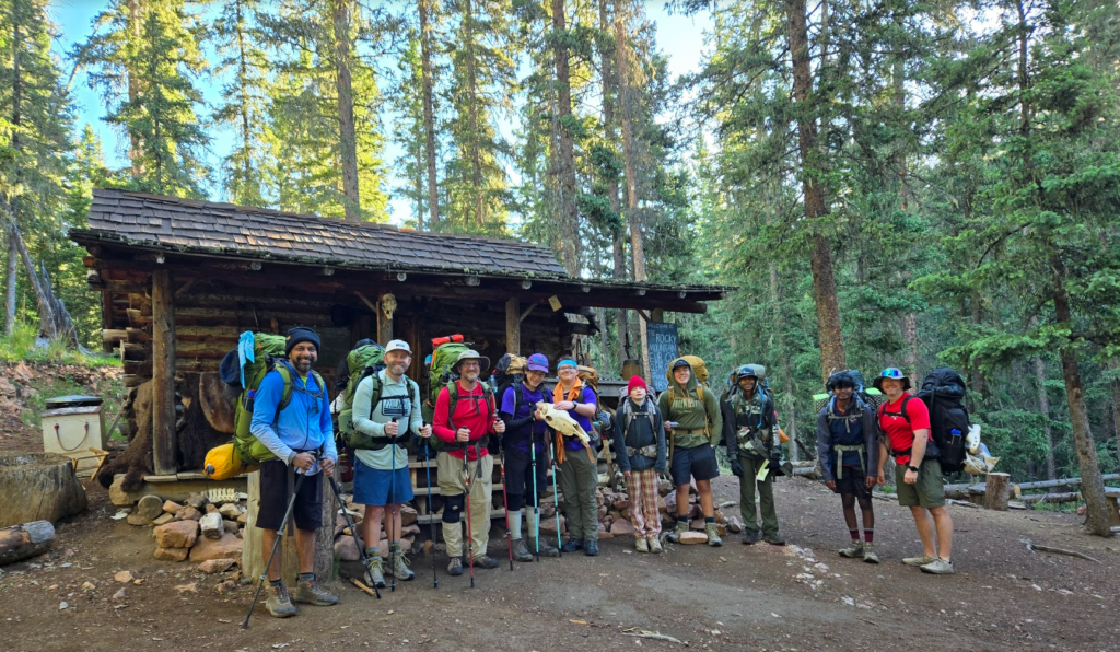
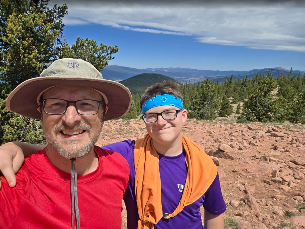
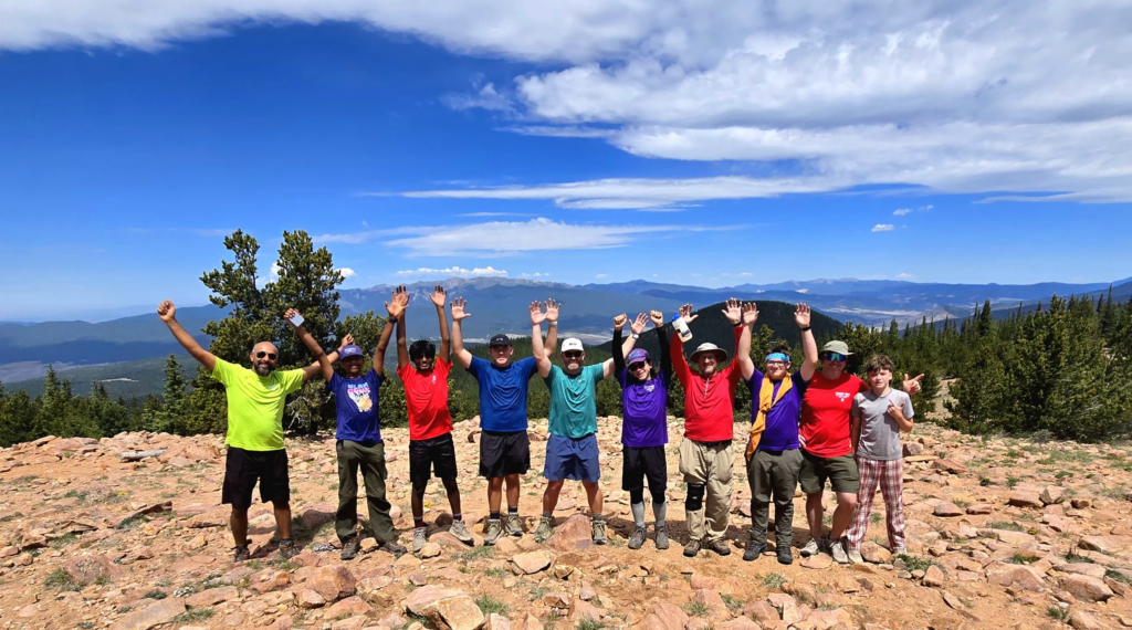
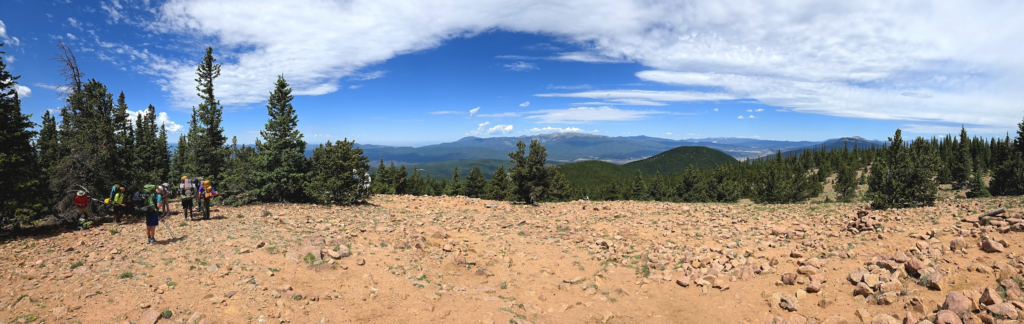
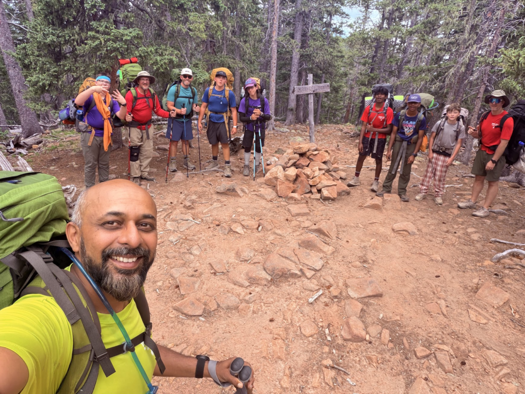
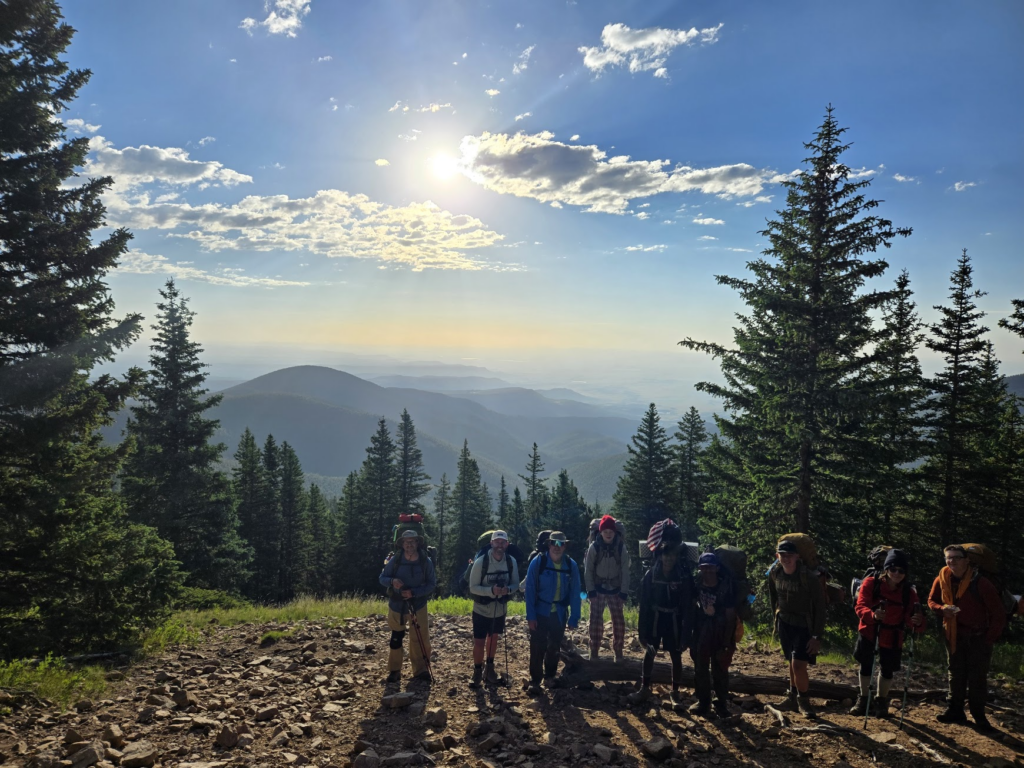
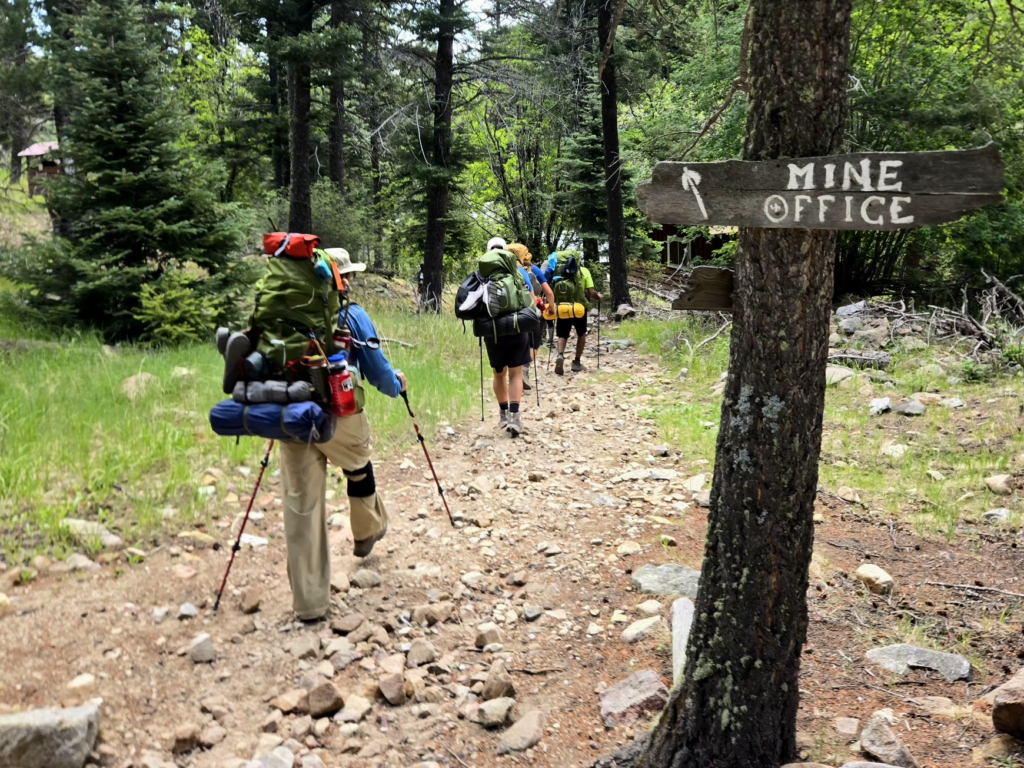
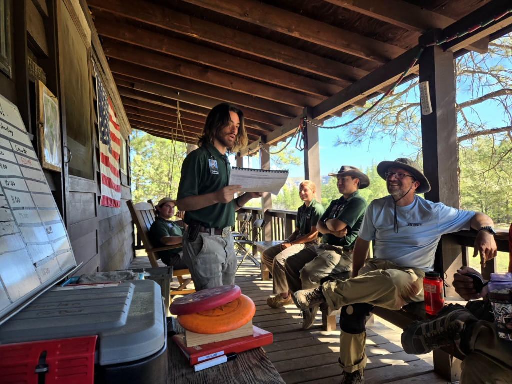
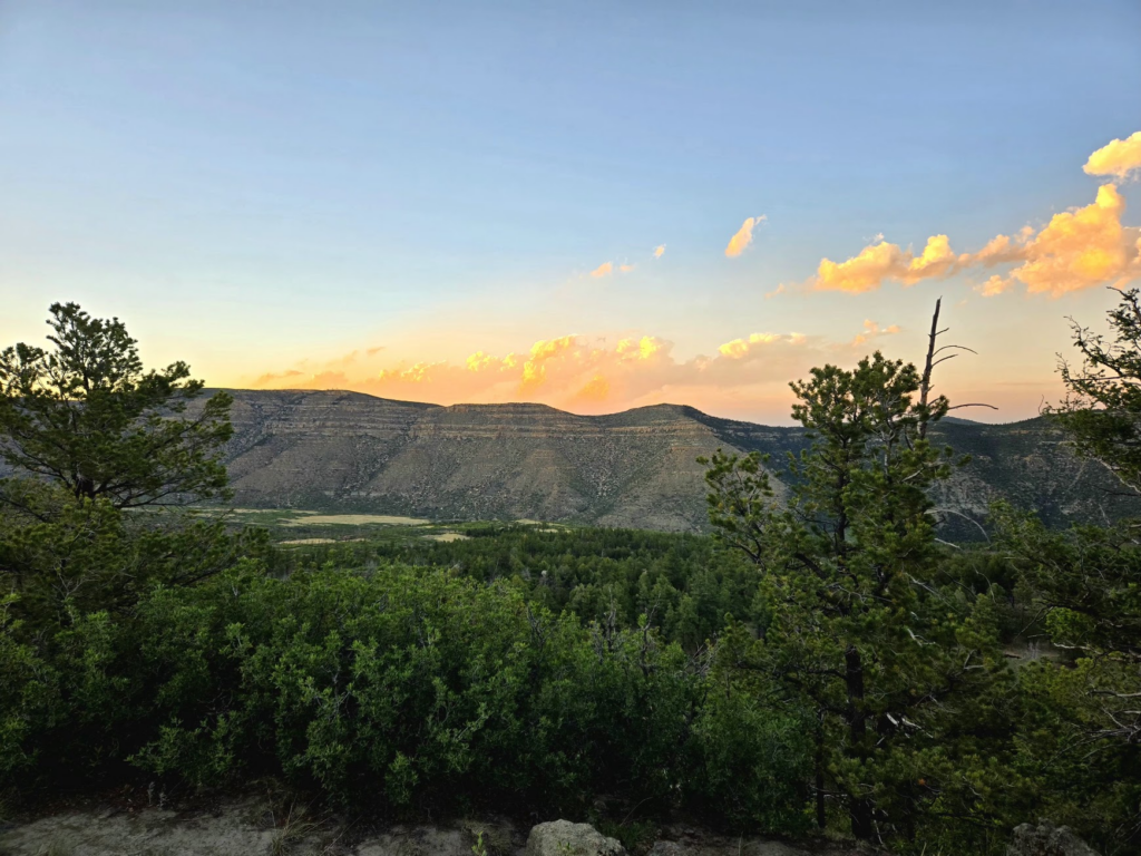
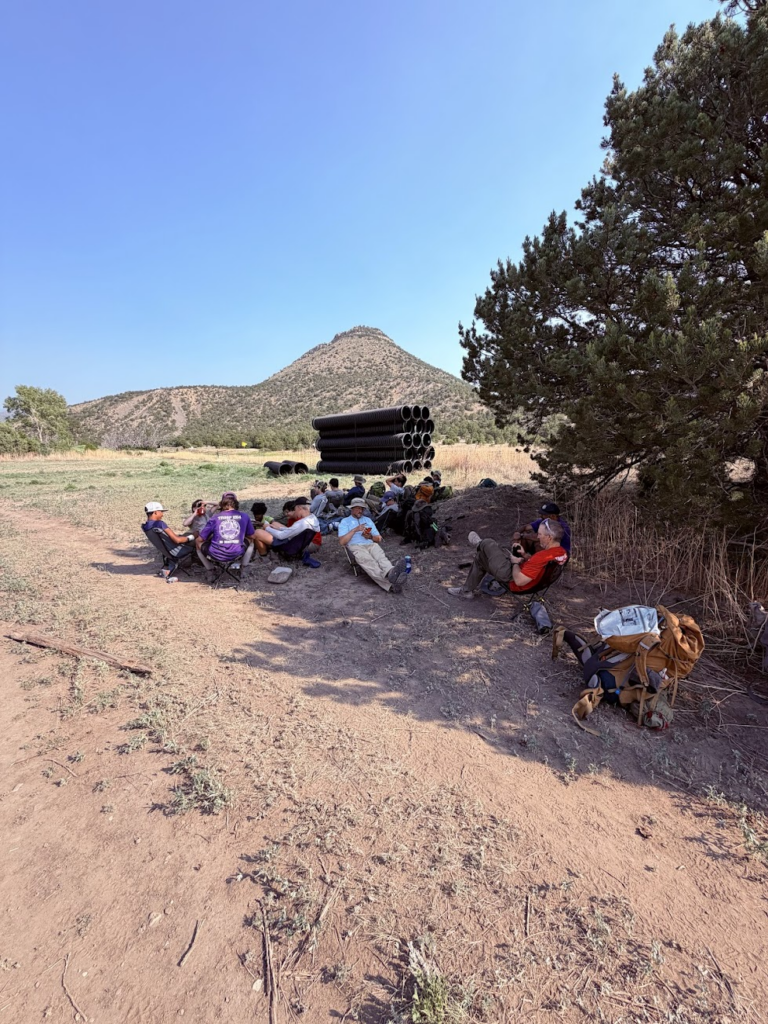
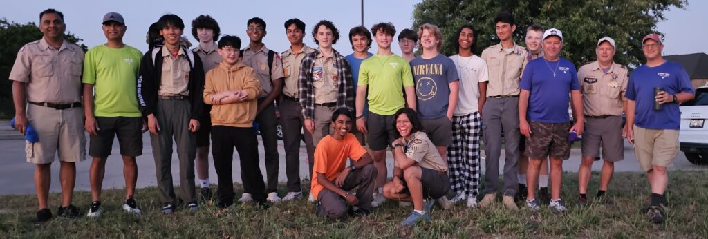
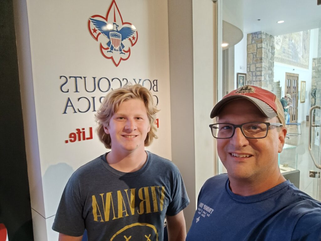
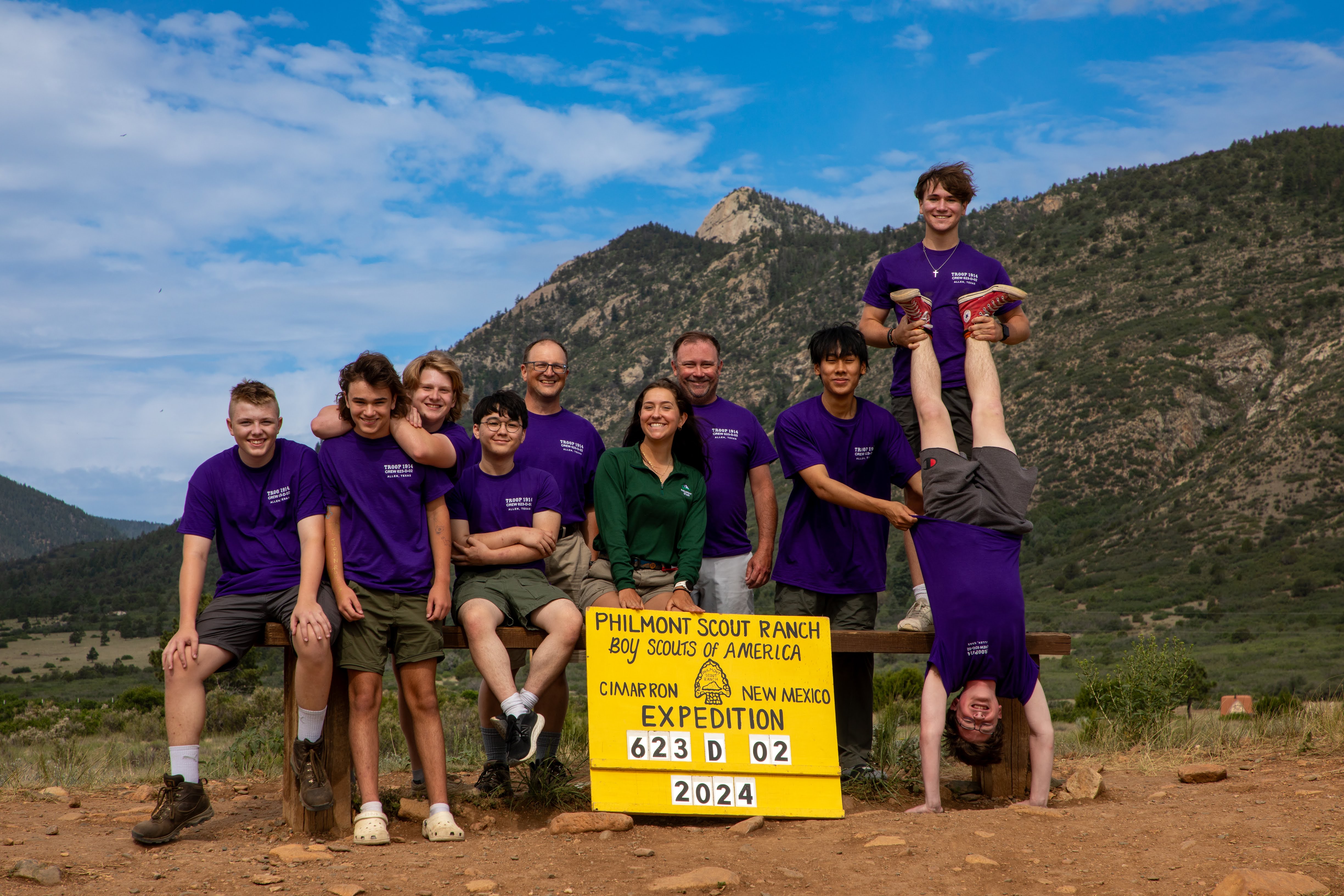
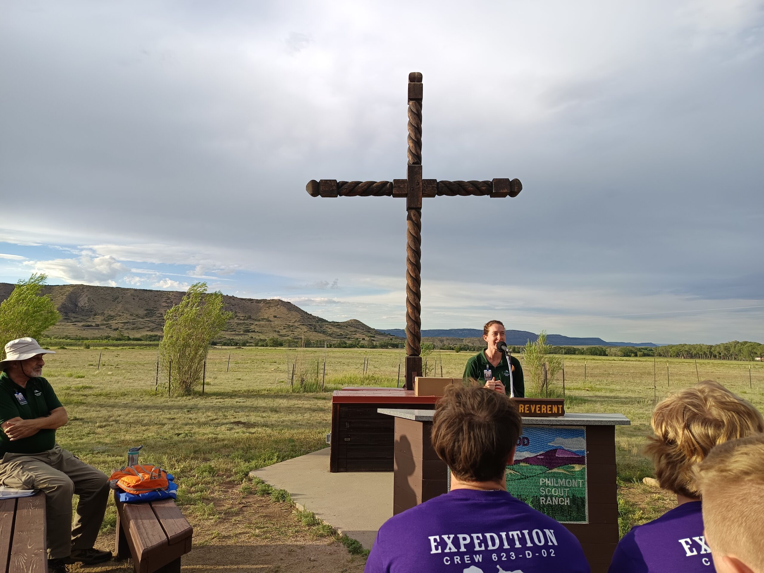
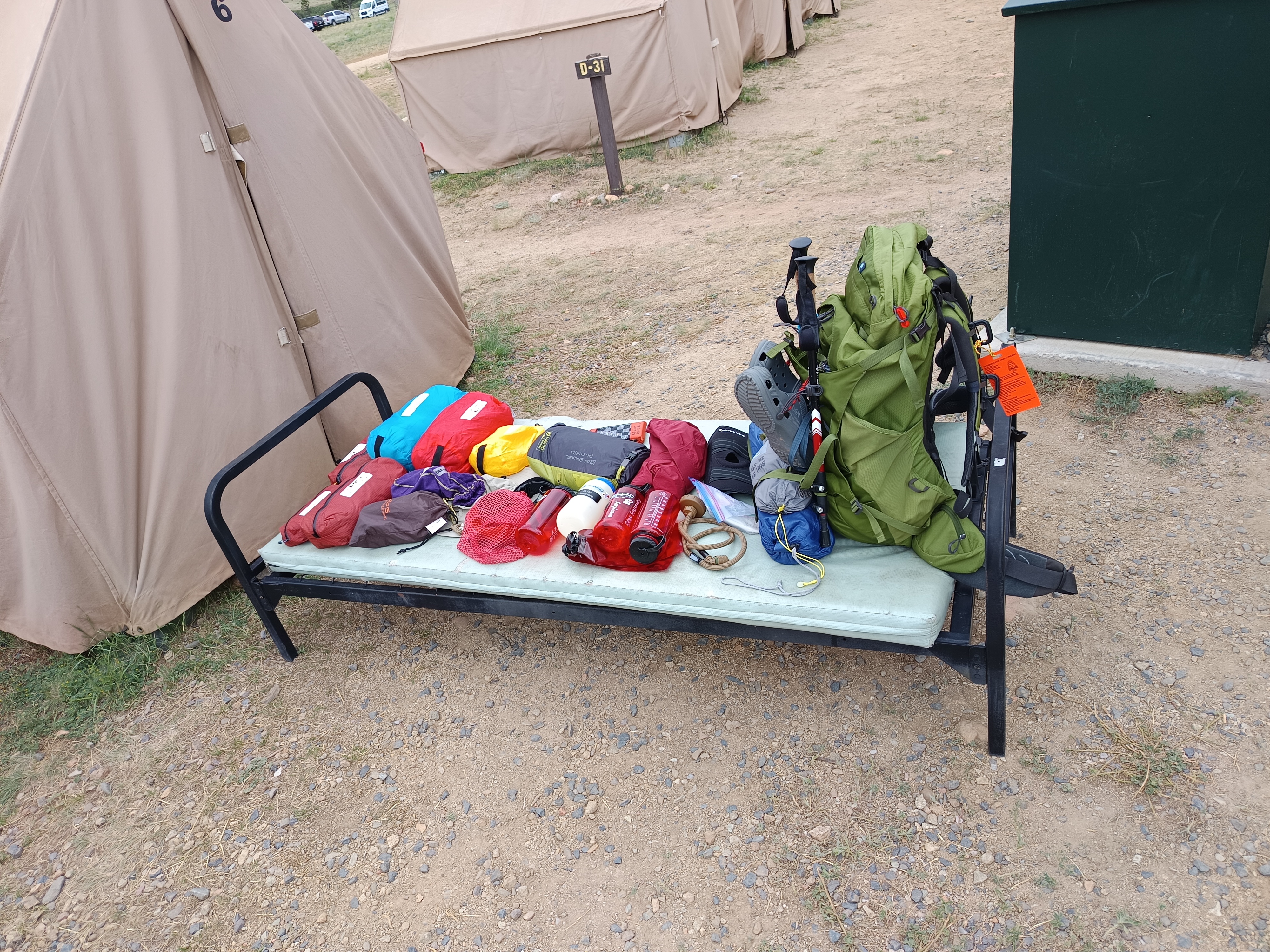
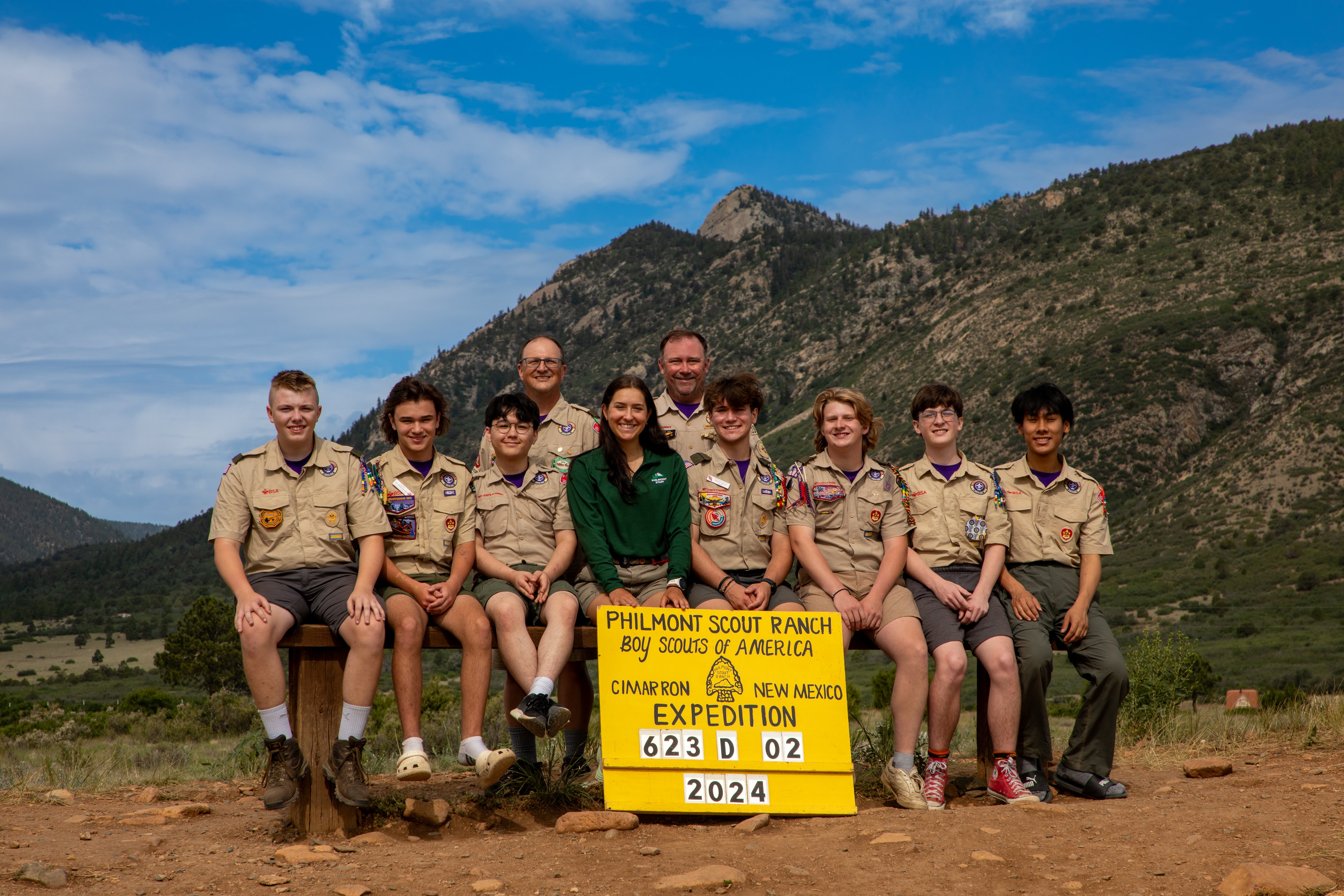
Aiden and I completed a 12-day backpacking trip at Philmont Scout Ranch. This was my second time first time visiting the ranch. (read about details of previous Philmont Trek in 2024 here) These are very special trips, as you get to experience dramatic and beautiful view, be a part of an adventure with your crew, and observe young men grow and gain confidence.
Day 0 (6/12) -Travel to Philmont
Day 1 (6/13) -Camping Headquarters
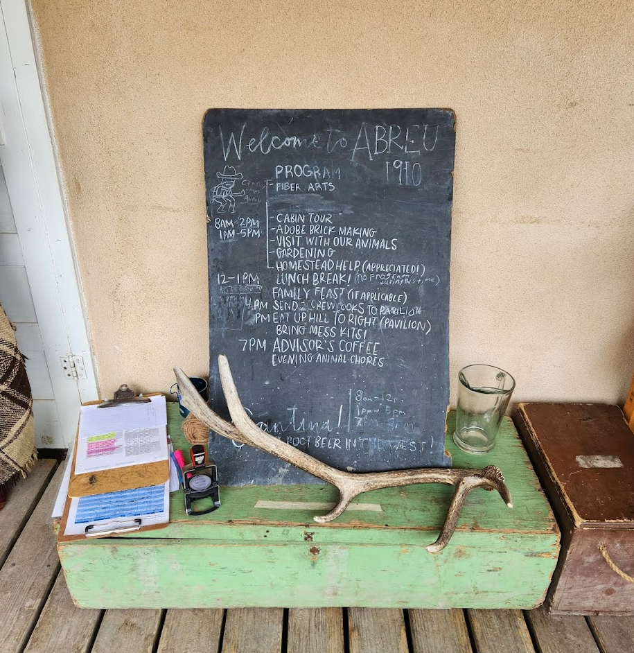
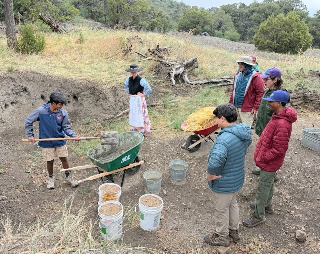
Day 2 (6/14) – Zastrow Trail Head to Abreau staff camp (homestead demos, animals, cantina) to Old Abreau trail camp
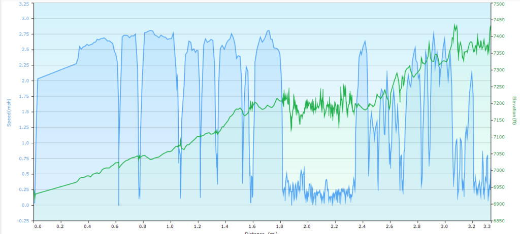
Distance: 3.3 miles, Ascent 1155 ft, Decent: 663 ft
Tour of the Abreau house included a foot-pump operated organ that we got to try, a coal powered heater. The kitchen featured a wood-burning stove, and an ice box, and a hand operated water pump.
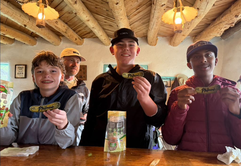
The cantina experience was a lot of fun: we drank home-made rootbeer and several scouts participated in the pickle challenge, which was a timed contest requiring eating a huge pickle and all the juice too.
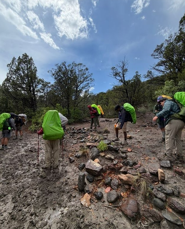
The rain made the hike up to Old Abreau very muddy. Our tents were set up right next to the river, which made for a near-perfect space.
Day 3 (6/15) – Old Abreau to Fish Camp trail camp (via stairmaster trail, Lookout Peak)
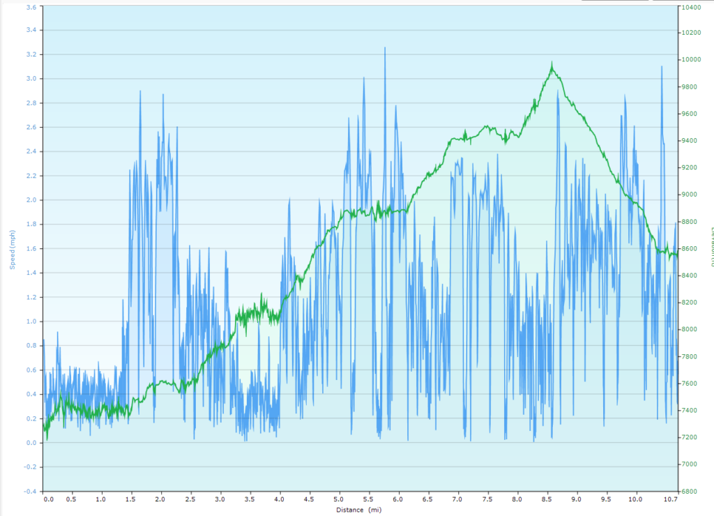
Distance: 10.7 miles, Ascent 5302 ft, Decent: 4005 ft
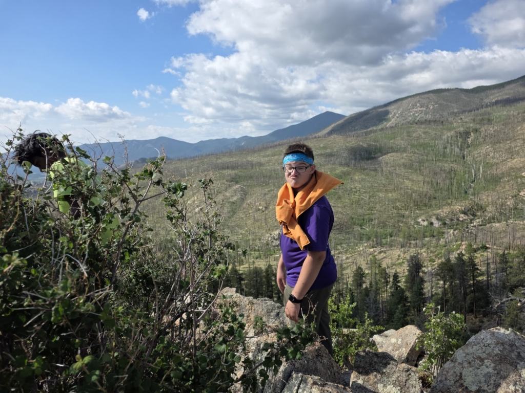
Today was a tough day! The crew made the choice to take the scenic (and difficult) trail to Fish Camp (against my advice). The ranger stayed silent also, even though he later said he knew we were making the wrong choice. We lost one adult on the trail about 2 miles in… we had to wait for a hurry crew to hike to us to rescue him. We continued, eventually making it to lookout peak and then on to fish camp as the sun was setting. We ate tomorrow’s lunch so we didn’t have to cook, since everyone was completely drained and had no energy or daylight left.
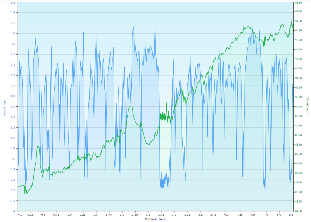
Day 4 (6/16) – Fish Camp to Beaubein staff camp (mountain ranching demos, branding, chuckwagon dinner, campfire show, showers)
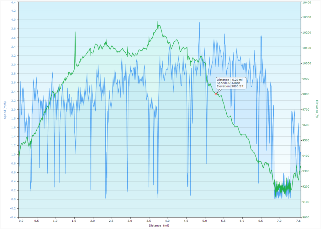
Distance: 5.3 miles, Ascent 2009 ft, Decent: 1195 ft
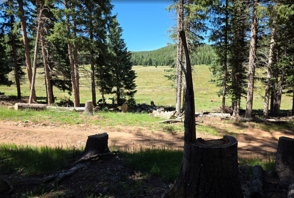
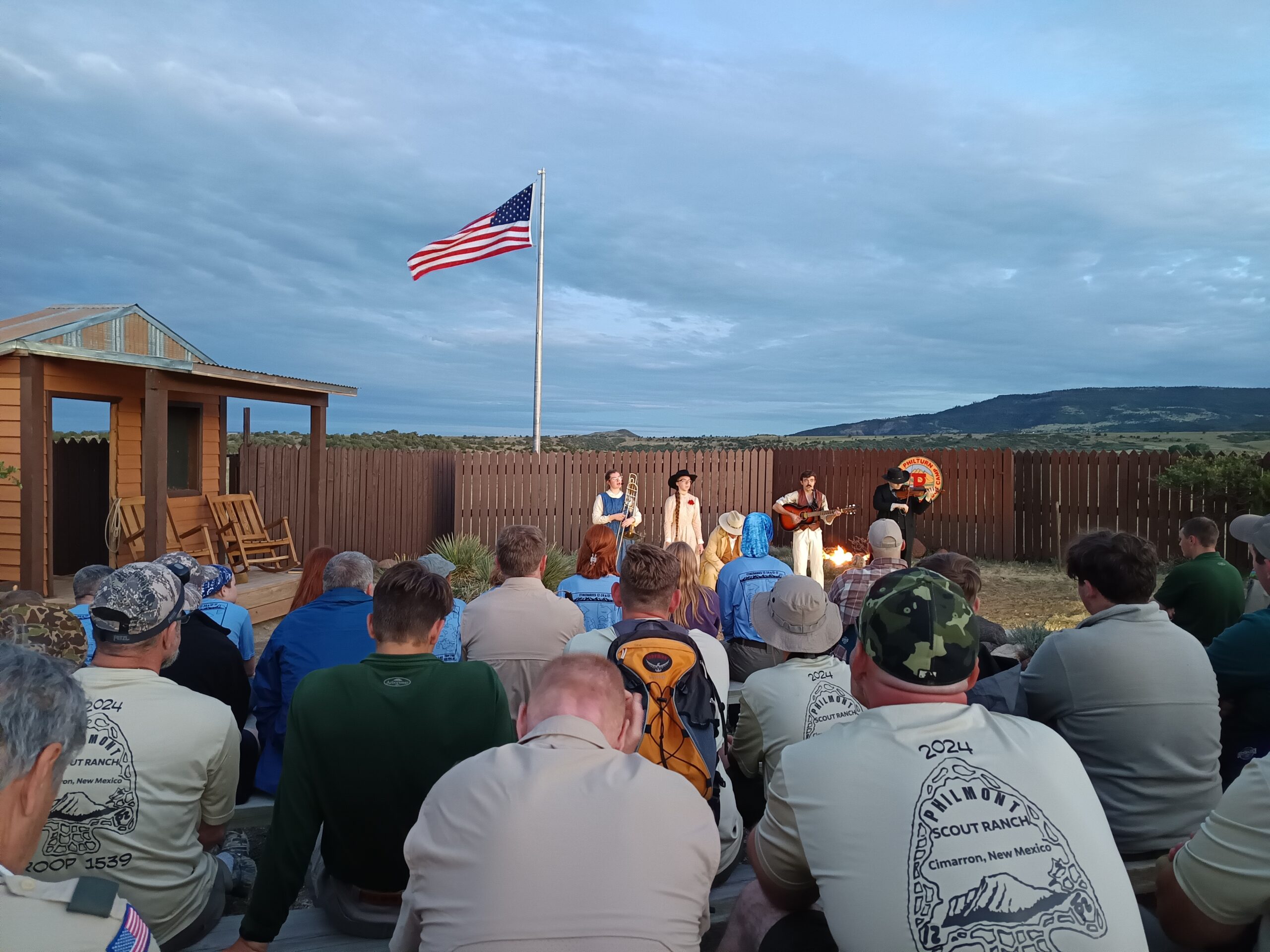
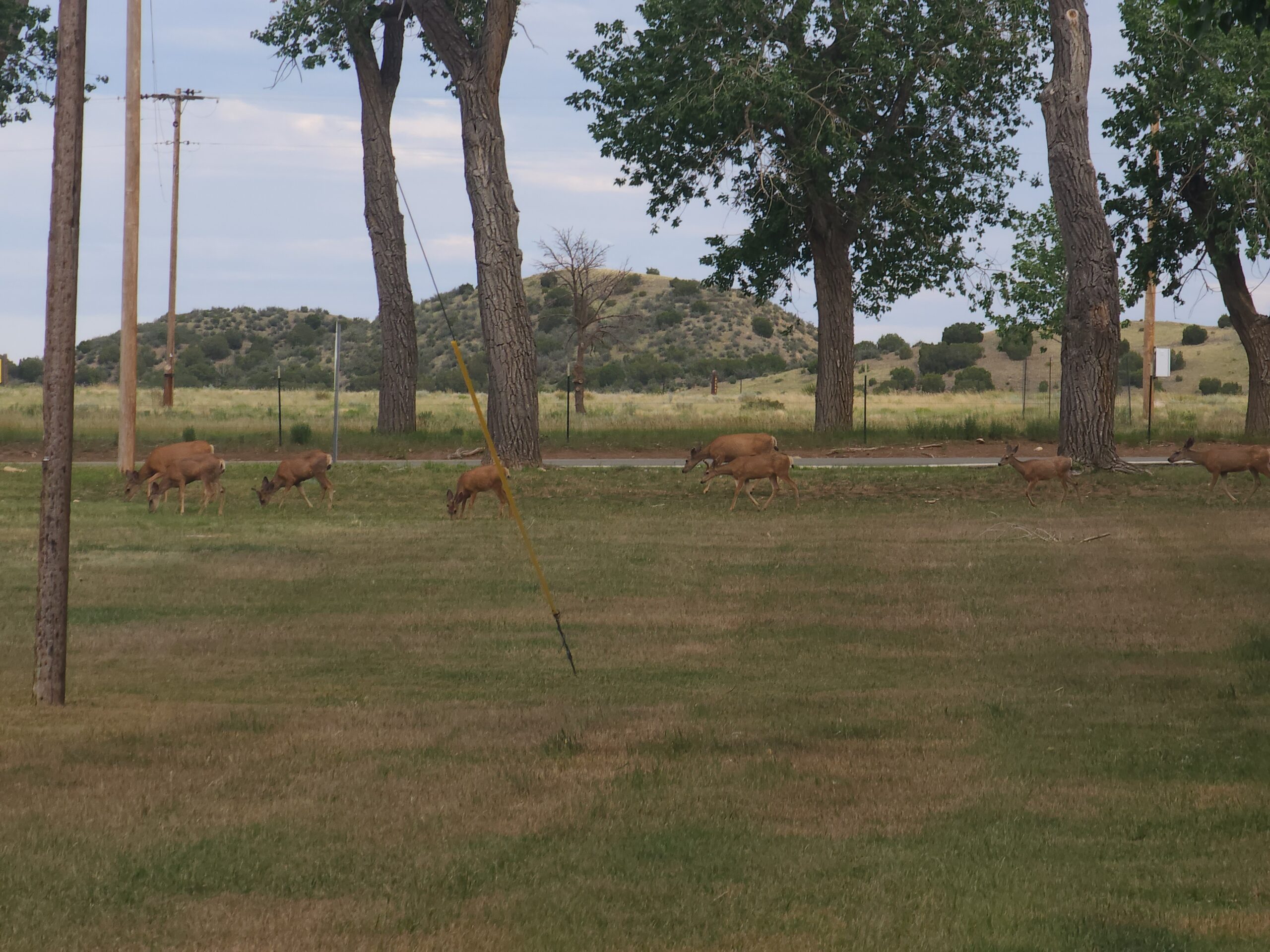
The trail leaving fish camp was my favorite trail of the trek. It was a scenic combination of trees and prairie with over 10 river crossings. We stopped at Phillips Junction and visited the trading post. Due to crew’s lack of planning and time discipline, we wound up skipping lunch completely. Beaubein was a huge camp, with lots of nice facilities, including a shower. They served chili (from freeze dried packets) for chuckwagon dinner, which was pretty decent, and we were all happy to not have to cook. They performed a campfire show with live music and told stories of life of a cattle rancher in the 1875 time frame. Deer roamed through our campsite, sometimes passing within 10 feet of us.
Day 5 (6/17) – Beaubein to Porcupine trail camp (food pickup at Phillips Junction)
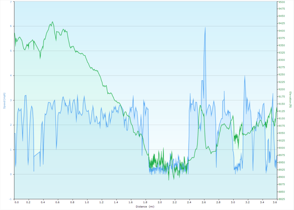
Distance: 3.6 miles, Ascent 976 ft, Decent: 1243 ft
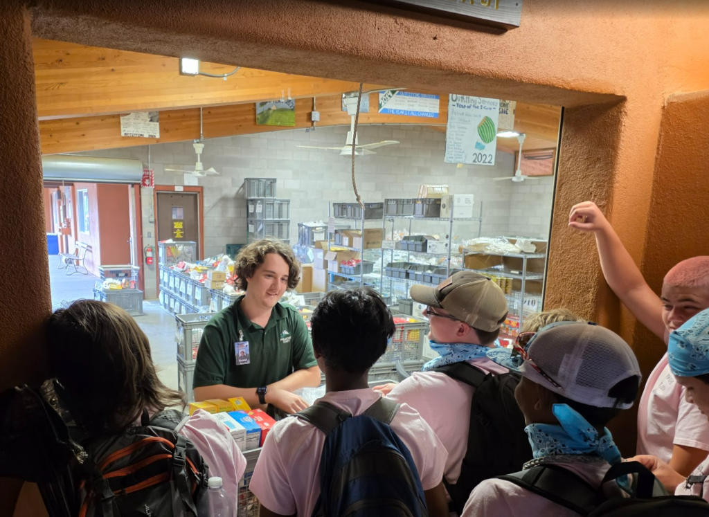
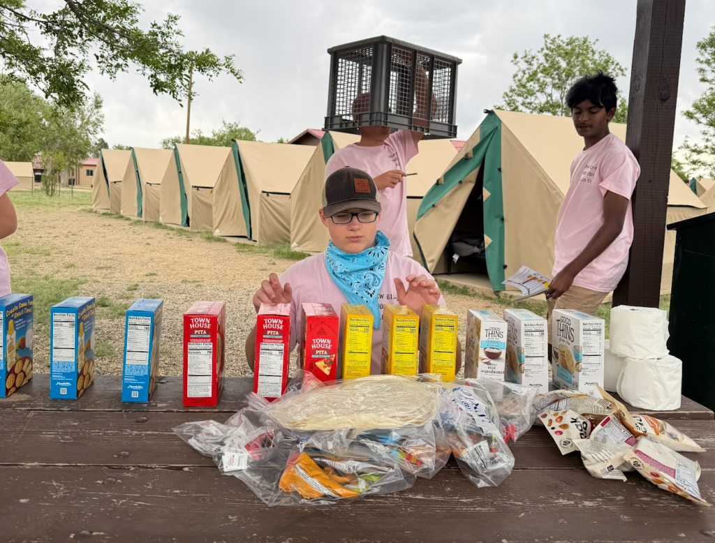
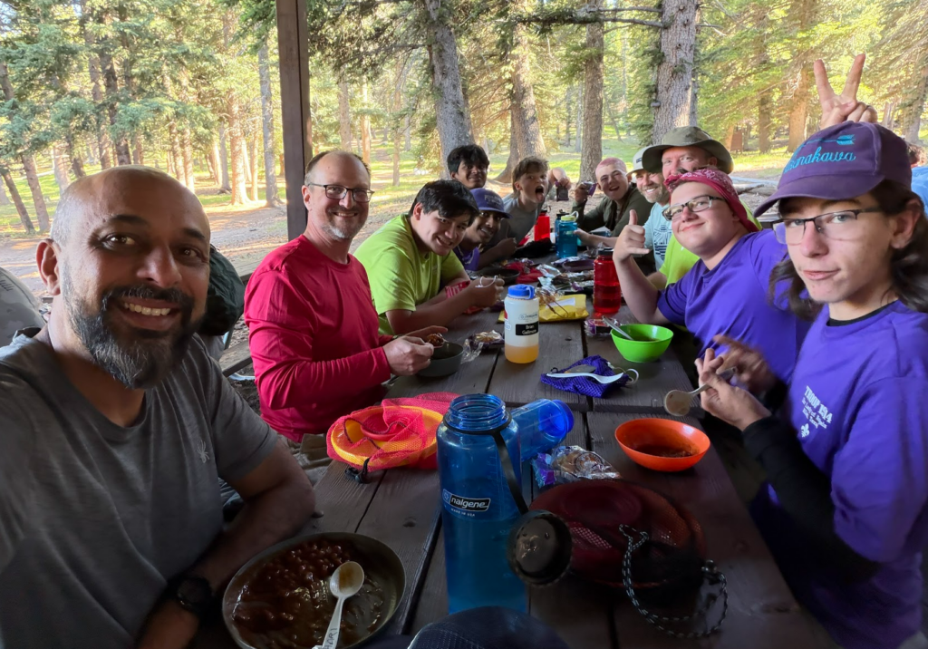
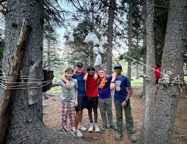
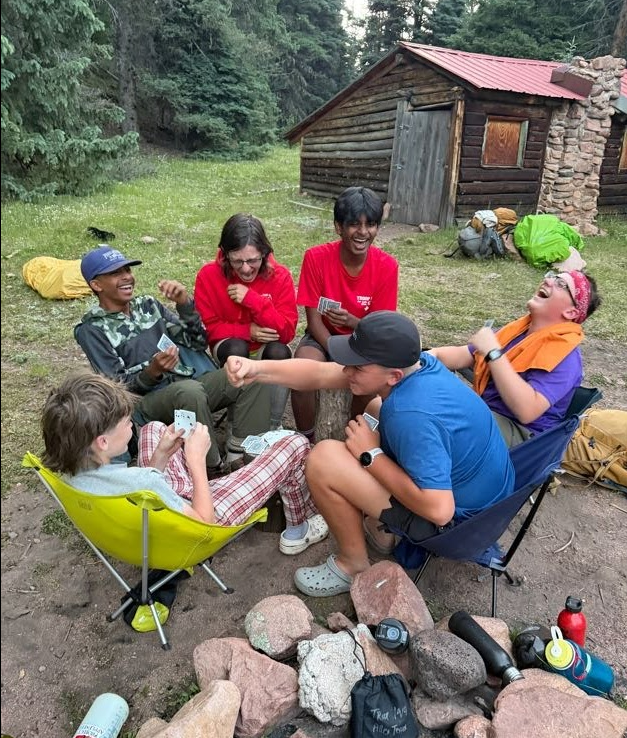
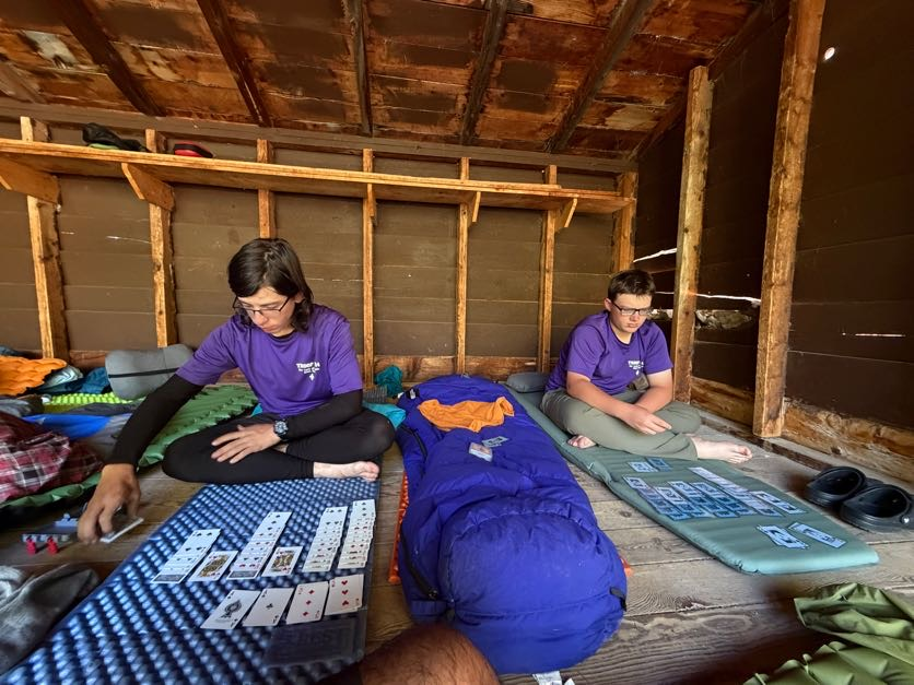
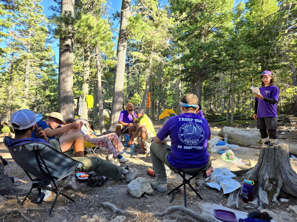
We slept late, then participated in branding and roping at camp before making the easy hike back to Phillips Junction for our food pickup and water resupply. (camp had no water available for us!) We wasted a lot of time and water treatment tablets– as soon as we were done treating our water, they announced that the water from the pipe was finally potable. The food pickup presented a challenge for us, it was so much food! We wound up returning a portion of it that we thought was in excess, but we still had a hard time carrying it all to our next camp. We had some extra meals of “rice and curry”, which we cooked for dinner. We had enough food for fourths! The scouts played the most lively and loud card game (mao) tonight— really happy to see them all getting along and having fun.
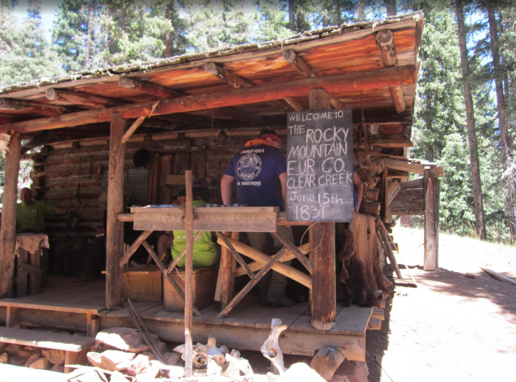
Day 6 (6/18) – Porcupine to Crooked Creek staff camp (pioneer homestead demos) to Clear Creek staff camp
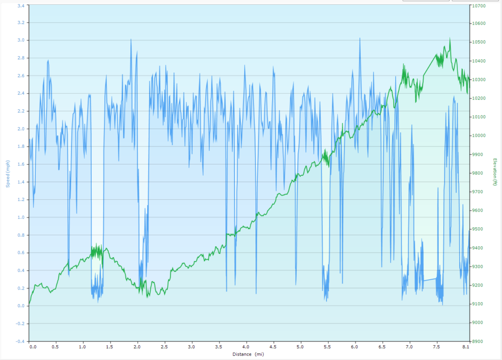
Distance: 8.1 miles, Ascent 3118 ft, Decent: 1959 ft
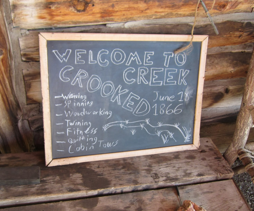
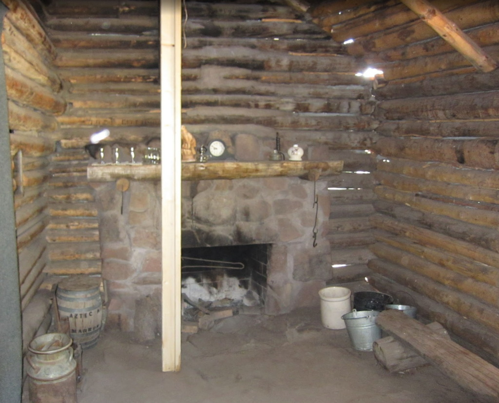
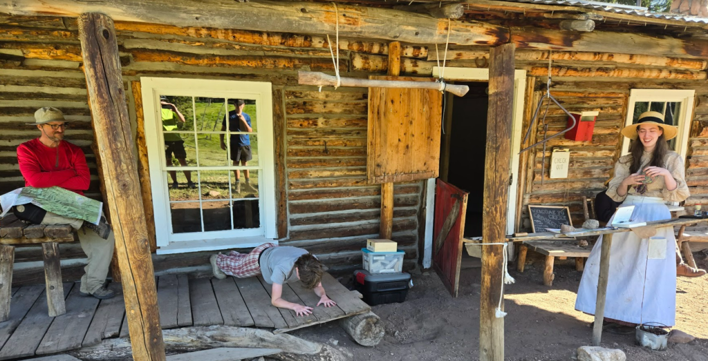
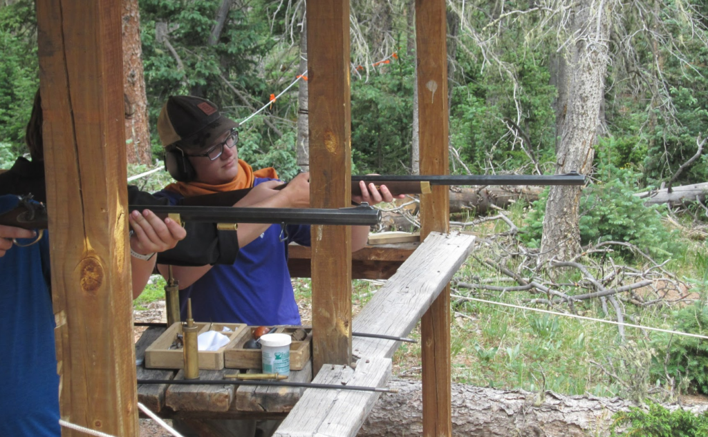
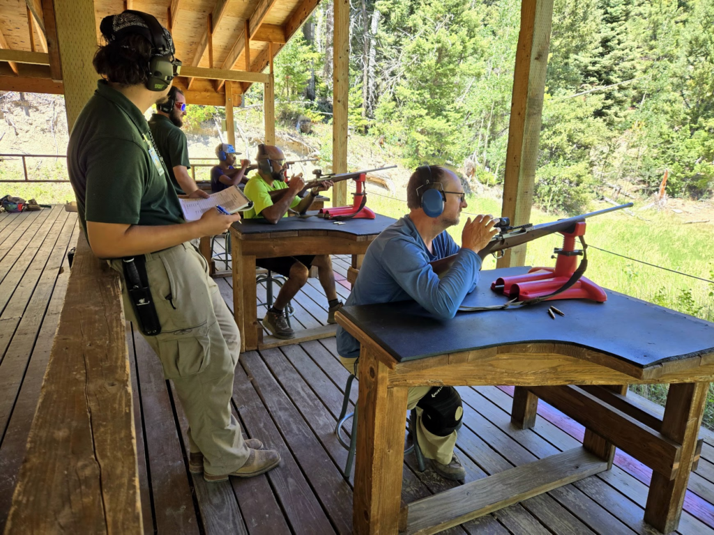
We woke up early and packed up camp to get on the trail early to try to avoid hiking in the heat as much as possible. We toured a near cabin at Crooked Creek that had a dirt floor that was hardened using ox blood. Several scouts broke records for physical feats. Most of the adults are not feeling well due to the altitude. We got to shoot black-powder rifles at Clear Creek, and some scouts put hats and pants downrange so we shot holes in them. It turned cold and rainy later in the day.
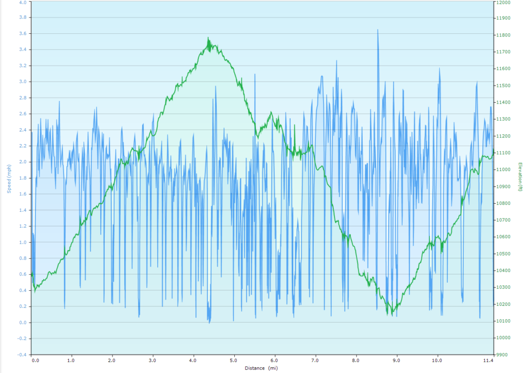
Day 7 (6/19) – Clear Creek to Comanche Peak trail camp (Mount Phillips, Comanche Peak, extra trip for water)
Distance: 11.4 miles, Ascent 3733 ft, Decent: 3006 ft
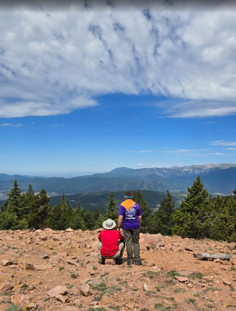
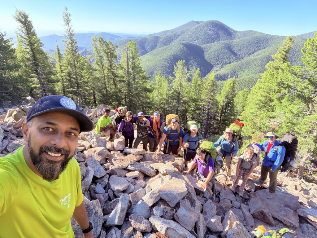
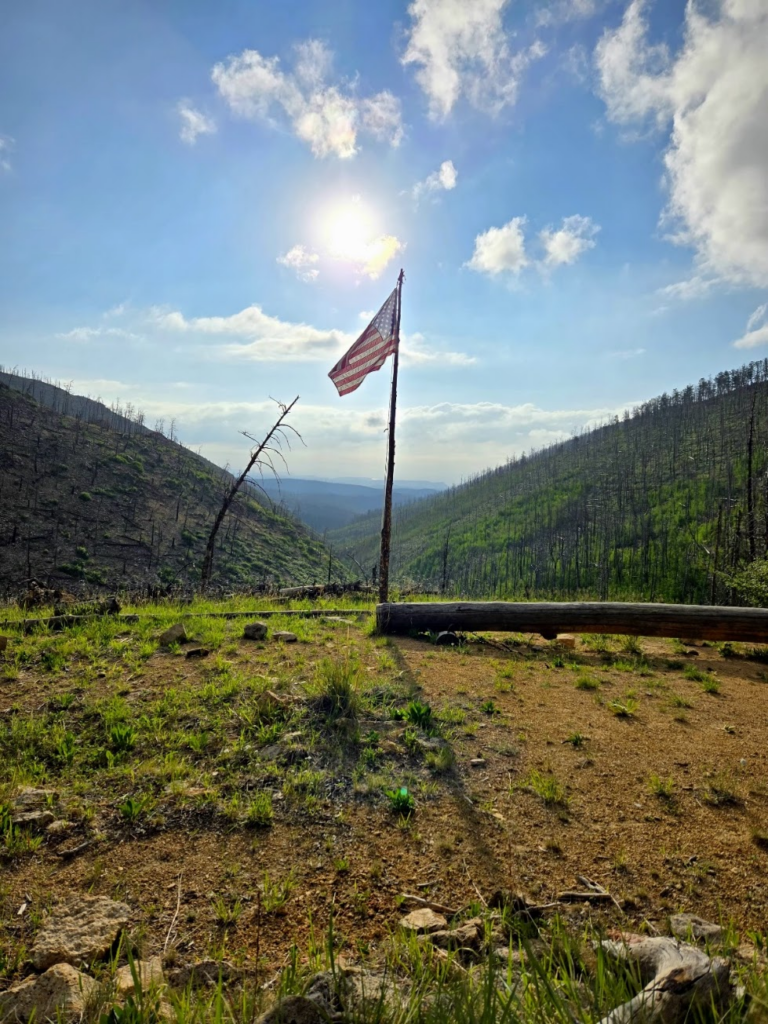
The trail started off nice and scenic out of Clear Creek, but wound up being the hardest day of hiking. The trail up to Mount Phillips was difficult and very rocky. The view at the top was amazing, and I got emotional from happiness. Everyone turned on cell phones and called home to talk to their families for a few minutes. The trail down the mountain was again very rocky and difficult to navigate. We got to Camanche Peak camp at about 1:30pm and sent a group of 4 back down the mountain to get water. There were 3 water sources within 2 miles on the map, but each one was dry, so the group wound up hiking all the way down to Rayado creek to get 11 liters of water, which was enough for dinner and the next day’s hike.
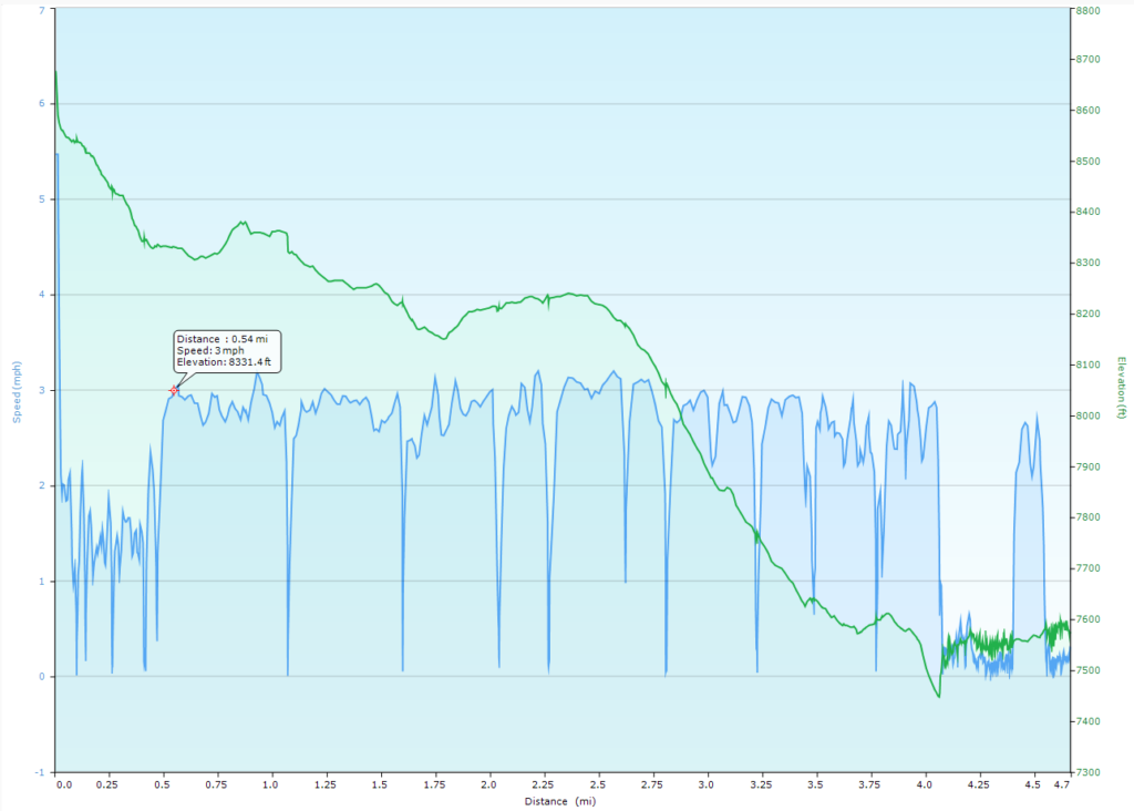
Day 8 (6/20) – Comanche Peak to Cyphers Mine staff camp (mine tour, campfire program)
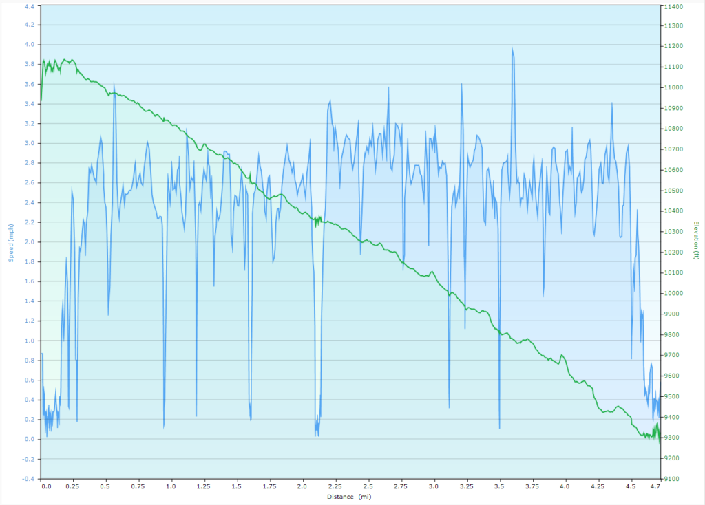
Distance: 4.7 miles, Ascent 570 ft, Decent: 2188 ft
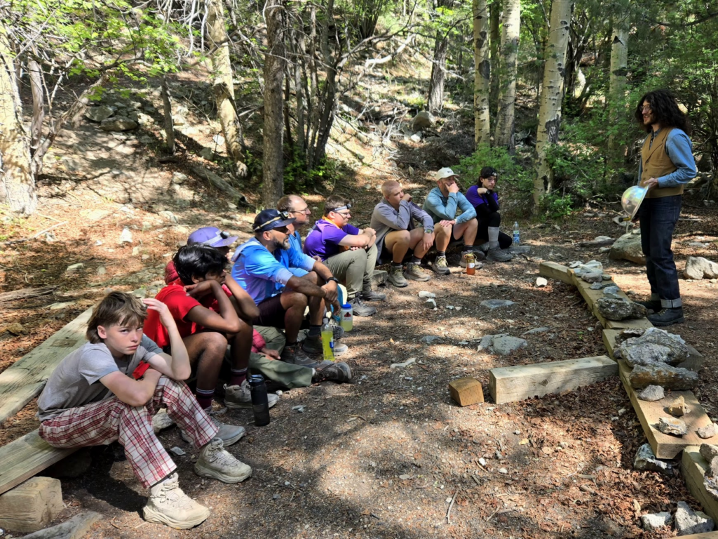
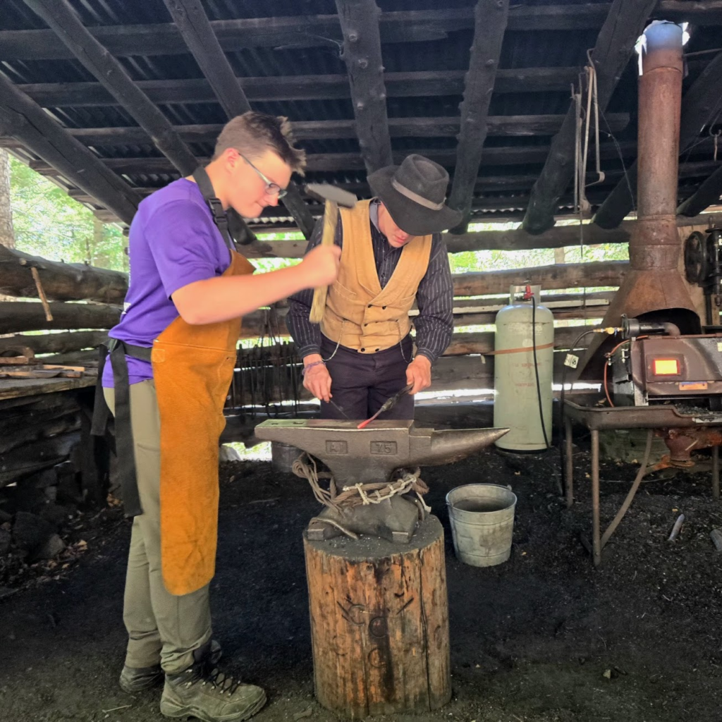
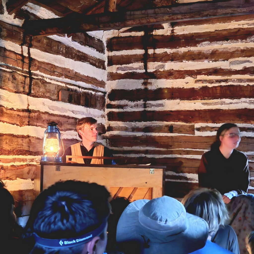
We left camp around 7:00am and arrived at Cypher’s Mine at 10:00am. We toured a gold mine and learned the stages of work. At the end of the mine, we all turned out our lights while the guide told us a story in the complete darkness. After the mine tour, the crew made a butter knife out of a steel rod at the blacksmiths. We all slept in a muckshack, where a lot of wrestling and and laughing occurred. There was an evening show in ‘the stomp’ which was an enclosed log cabin structure that made me feel claustrophobic.
Day 9 (6/21) – Cyphers Mine to Sawmill staff camp (rifle reloading and shooting, conservation project)
Distance: 7.6 miles, Ascent 2075 ft, Decent: 2171 ft (+ 4 miles + 600 ft for conservation project)
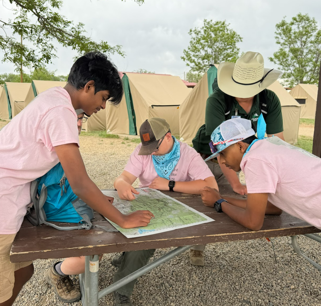
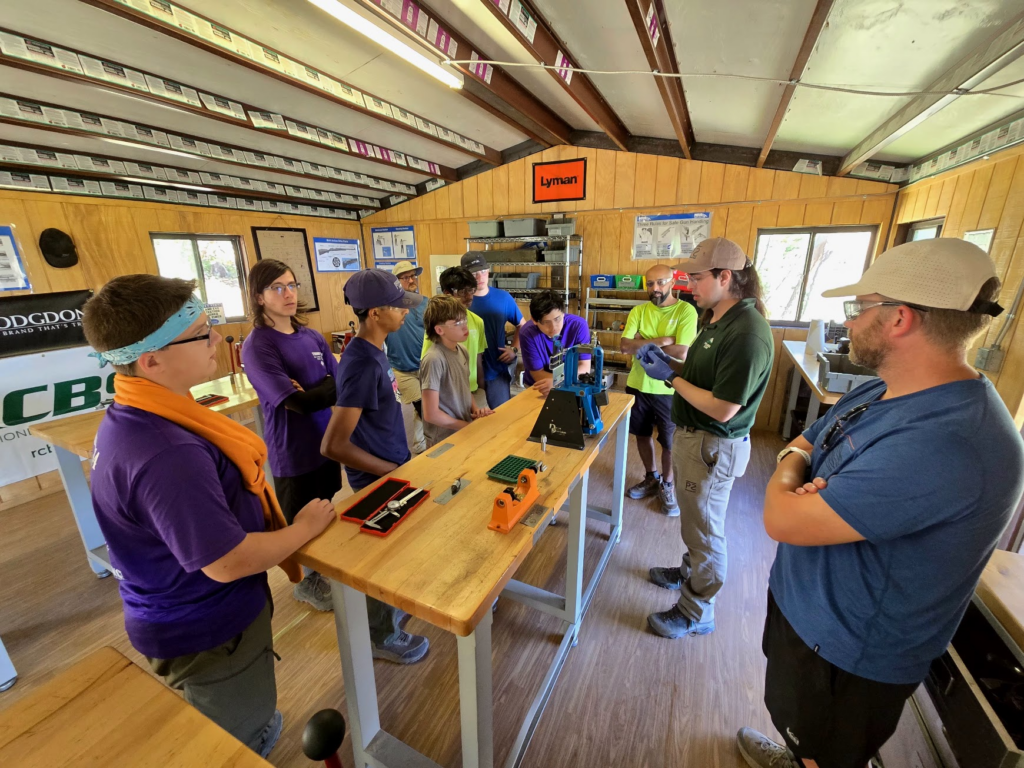
We left early in the morning to get to Sawmill in time to make the programming plus our conservation project. Aiden served as our navigator and made a wrong turn, taking us most of the way up Cimarroncito Peak. As we were backtracking down the mountain, we were being stalked by a very large animal, most likely a mountain lion. We never saw it, but heard it following us! Aiden was very mad at his wrong turn, and went into “Angry Aiden”mode, and led the crew on a very fast-paced trip into Sawmill camp, where we reloaded 30-06 rifle cartridges, then hiked over the the range (too far away!) and shot them. After that, we went to our conservation project, which was constructing a new trail from Sawmill to Cimarroncito Peak.
Day 10 (6/22) – Sawmill to Ute Gulch commissary to Devils Wash Basin trail camp
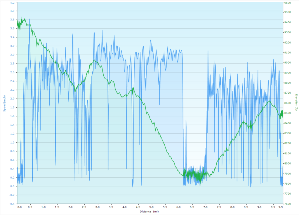
Distance: 9.9 miles, Ascent 2165 ft, Decent: 3022 ft
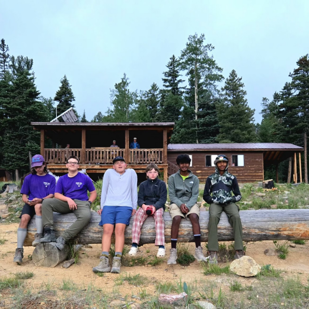
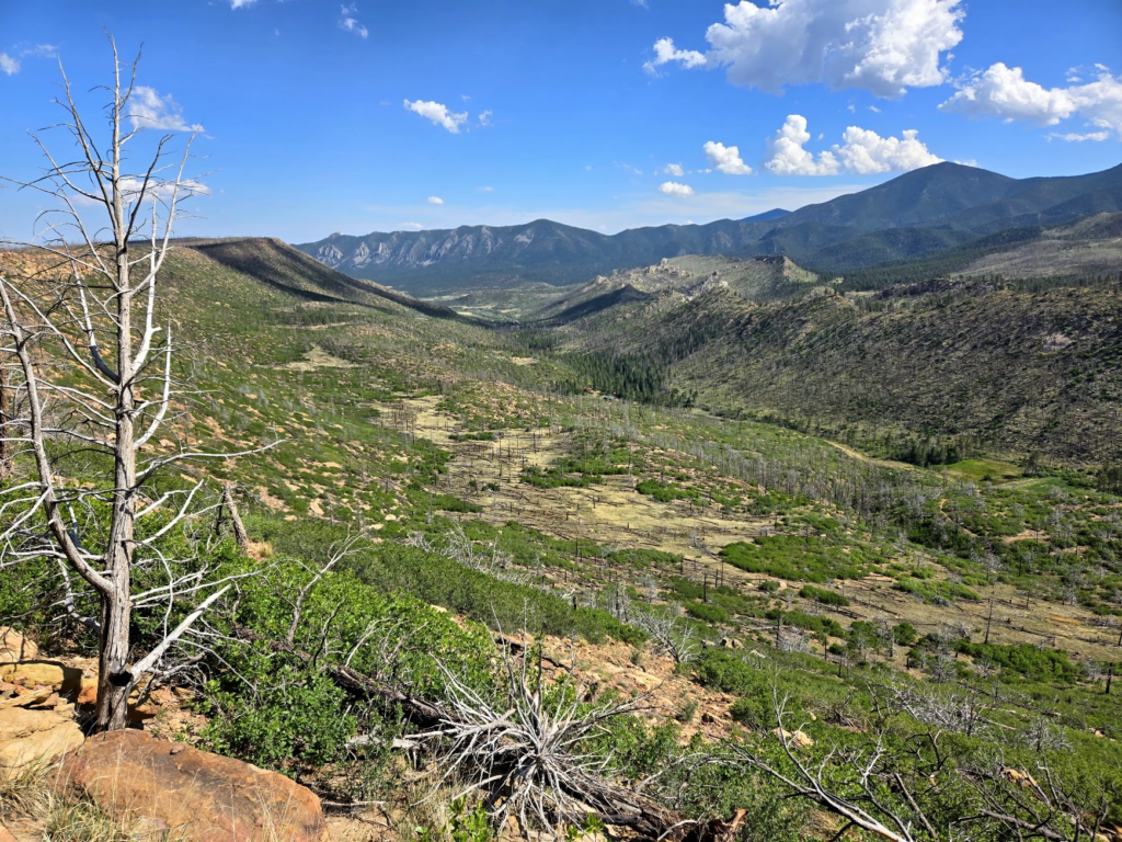
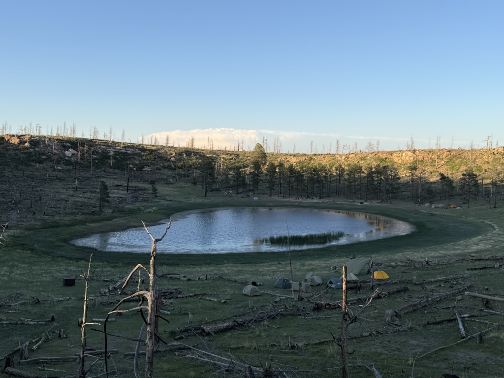
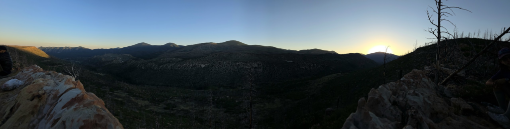
We work up early to get to the cabin to watch the sun rise over Sawmill Canyon. It was cloudy, so the sunrise was less than spectacular. I was confused about the trails leaving camp, so that delayed us leaving. We hiked to Ute Gulch where we had a food pickup and visited the trading post there. We ate lunch (cooked our dinner) there, and then hiked through more burn area (blazing hot sun) to arrive at Devils Wash Basin camp. This was Aiden’s favorite camp site. We climbed up on the ridge and watched the sun set over Sawmill Canyon.
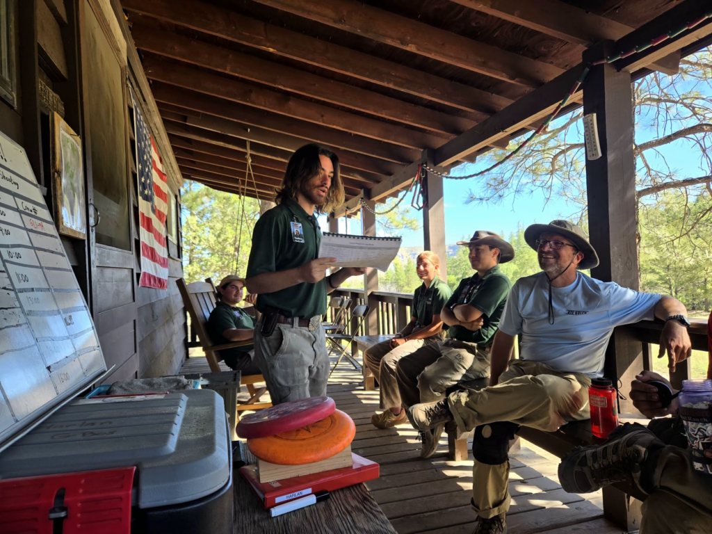
Day 11 (6/23) – Devil’s Wash Basin to Harlen staff camp (shotgun reloading and shooting)
Distance: 4.7 miles, Ascent 458 ft, Decent: 1561 ft
We had to bushwhack out of Devils Basin due to poorly marked trails and overgrown new growth. It was a hot, dry, dusty hike out of the area, and several people ran out of water. We were able to share water among the crew and made it out without incident. We arrived at harlen around 9:00am and reloaded shotgun shells, then shot them at the range. We hung out at the campsite all day, with nothing much to do and little motivation. We all just wanted to stay out of the sun and relax. We climbed up the ridge and watched the sunset.
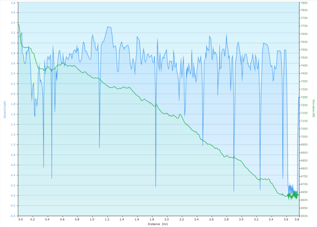
Day 12 (6/24) – Harlen to Turkey Creek Trailhead to Travel Home
Distance: 3.8 miles, Ascent 206 ft, Decent: 1283 ft
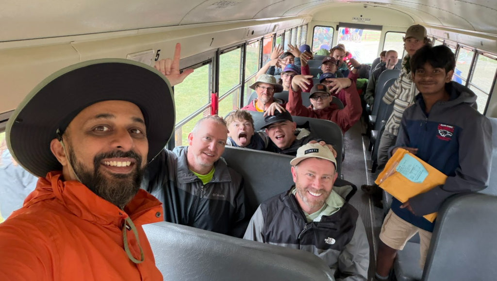
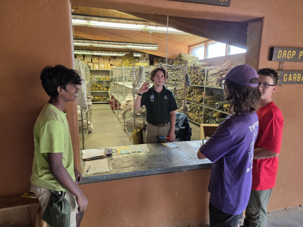
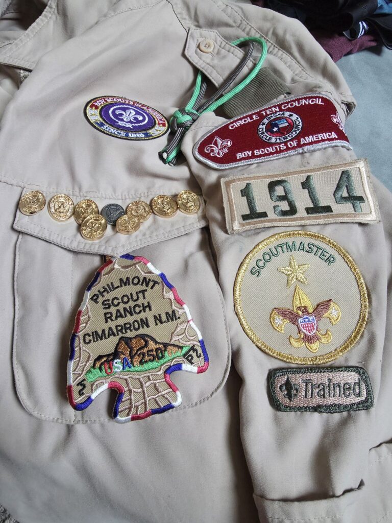
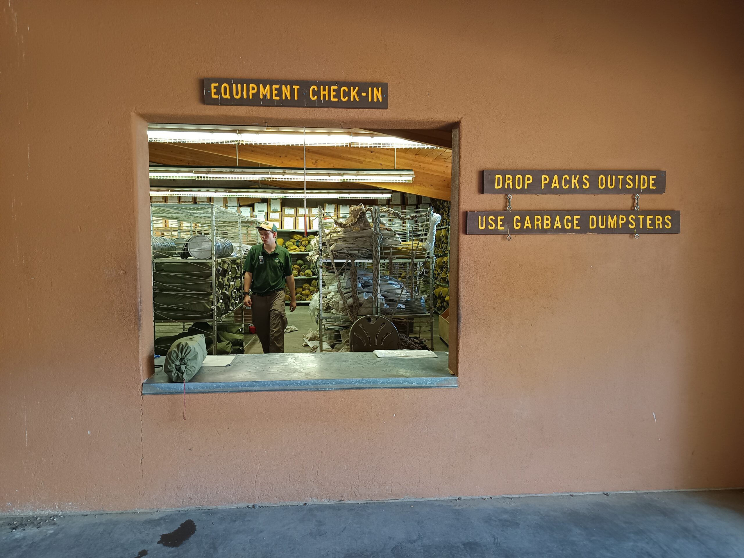
On our last day, we made it to the trailhead and waited for our bus. Once back at basecamp, we turned in our gear, stopped at Tooth of Time Traders again to get our special patches, and took much-needed showers and changed into street clothes. We opted to skip the closing campfire back at base camp and drive home instead. We stopped at a few shops in Cimarron for souvenirs, then made the drive home, arrive back in Allen around 2:00AM.
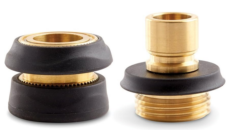
A long time ago, I bought some solid brass garden hose quick connects. They worked great. I loved them. I decided all my hoses should have these. Fast forward 20 years. The big box stores don’t sell them any more. They sell the flimsy plastic versions. You can order some from the internet, but the connections are the wrong gender— the male part that is exposed to sunlight and abrasion has an o-ring on it that is exposed and will surely get quickly destroyed. Where did the good parts go? About half of the ‘solid brass’ things you order from Amazon are fake parts from China that are made from aluminum.
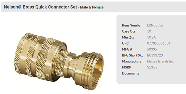
I think the originals that I bought at Home Depot years ago were the Nelson 50336. They are solid brass and last forever*. I don’t find these in stores any longer though. You can still order these, but they seem harder to find.
There are some that look like they might work, but the design is different. They reduced the size of the female coupler and removed the inner o-ring. The seal of the coupled joint relies on a special stepped washer that seals against the very edge of the male end and relies on pressure between the two parts to work. These are leaky (you have to screw it on the hose end just right) and are sometimes very hard to get connected. These are junk!
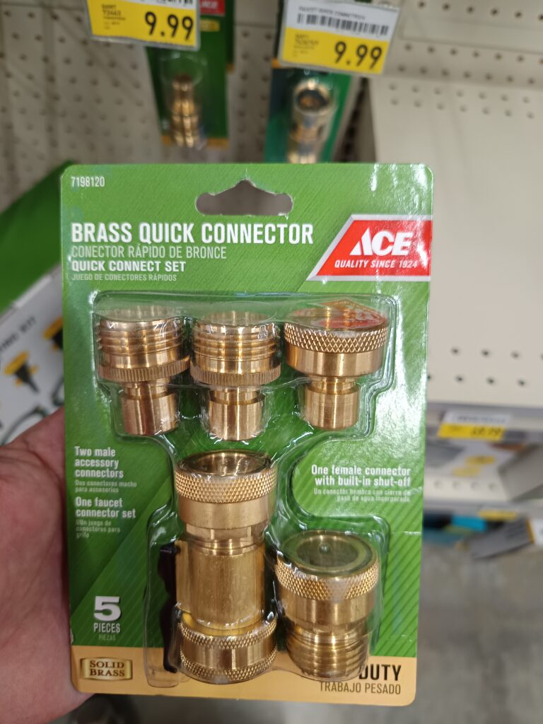
My local Ace hardware sells a set that looks like it is compatible, but has several extra parts that are all wrong… I guess if you want to be frustrated all the time because you have the wrong end of the hose needed, this might be a possible solution. I didn’t want to pay for extra things I didn’t want, so I kept looking.
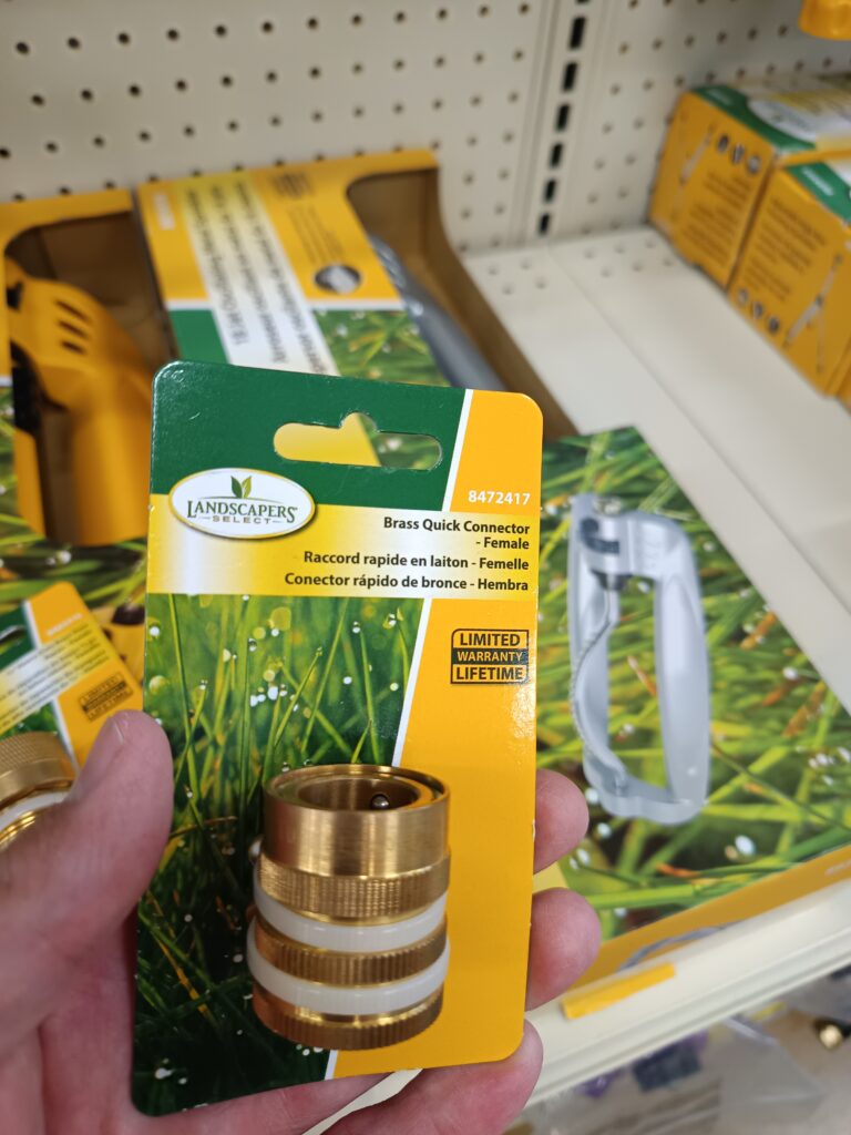
Elliot’s hardware in Allen has the right connectors, but they are a little expensive ($10). Brand name is Landscapers Select and part number is 8472417.
(*) eventually, the sealing o-ring on the inside of the female coupler wears out. (like after 15 years of constant use).
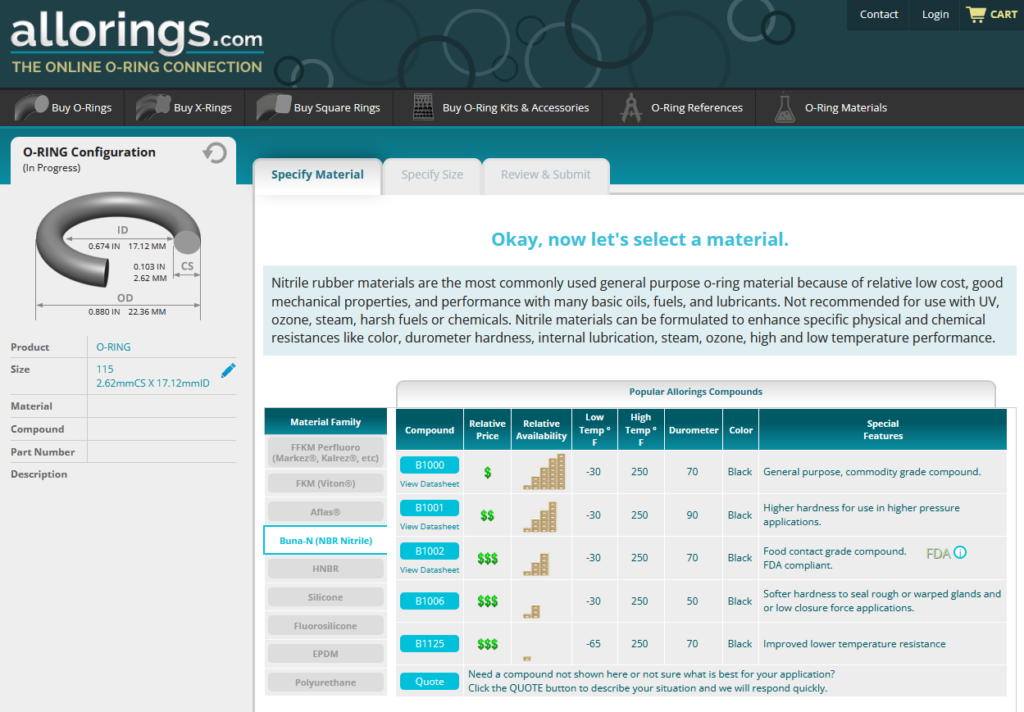
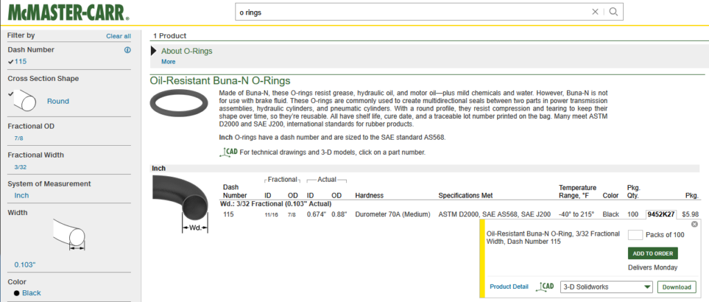
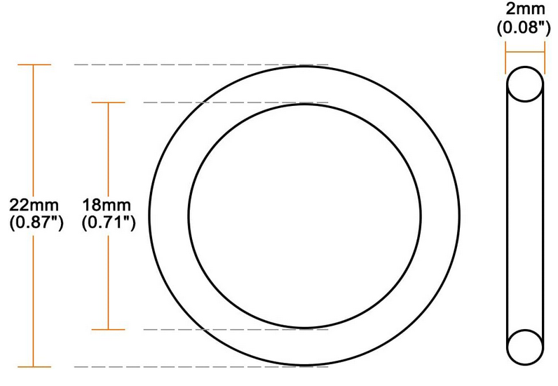
I ordered a supply of -018 o-rings thinking they were the correct size but they were wrong, the ID was too large and were leaky. Next I tried the -115 o-rings, both in hard (90) and medium (70), but the fit is so tight you can’t connect the couplers with standard human powered hands. So now I’m thinking the correct o-ring size is metric. I ordered a 18 mm ID, 22 mm ID, 2 mm cross section. Installation was easy, but a little leaky when connected. I settled on the -909 size. It is easy to connect when installed, and leaks a tiny big when first pressurized, but seals well after that. The -909 dimensions are ID: 0.706″ (17.93mm), OD: 0.900″ (22.85mm), CS: 0.097″ (2.46mm)
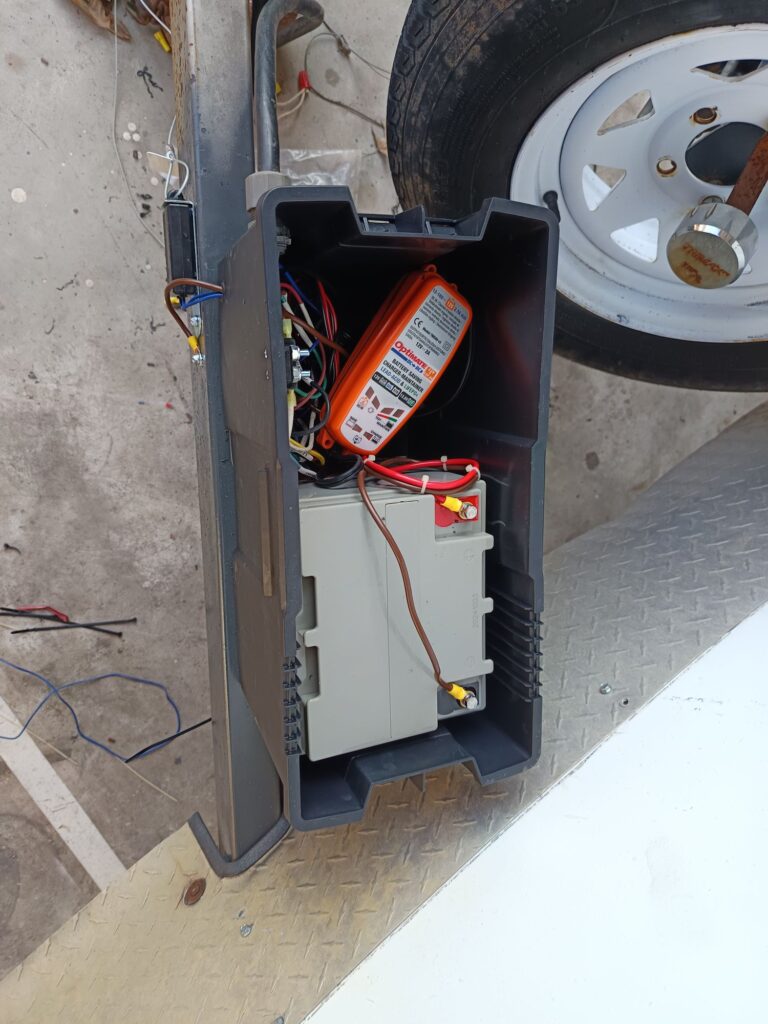
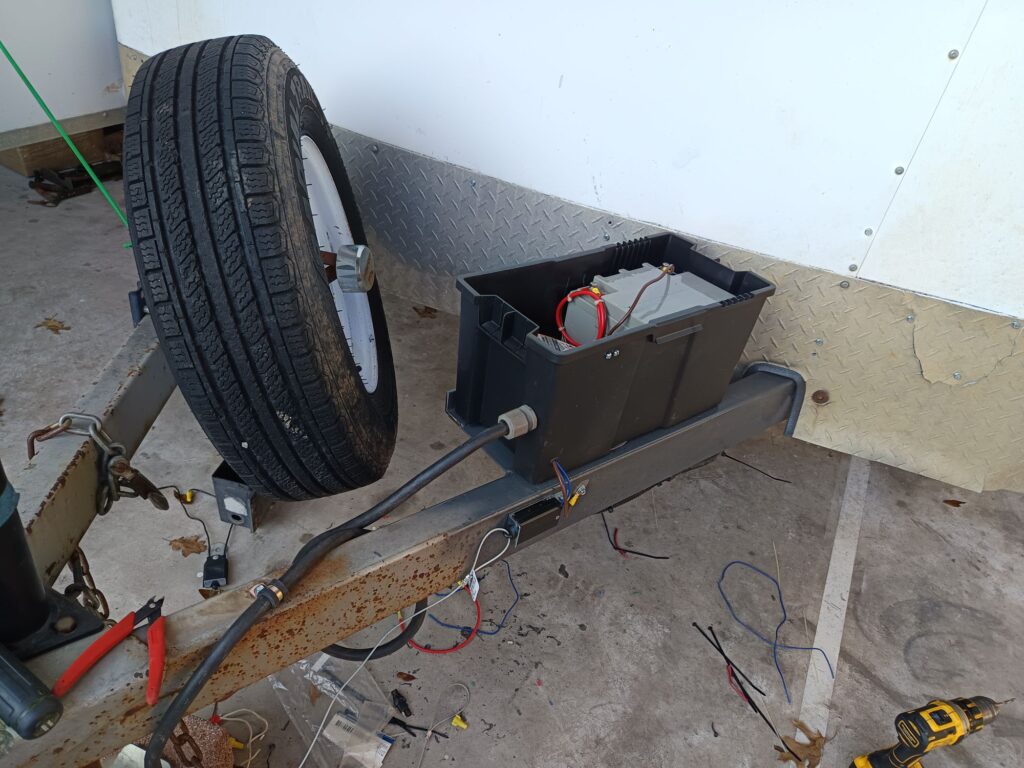
I worked with Ray Ray to add lights inside scout troop 1914’s trailer today. We wanted the lights to work even if the tire vehicle was disconnected. We also wanted to ‘scout proof’ it in a few ways.
Minimize the chance of draining the battery
If the battery is drained, protect the tow vehicle from supplying excessive current to dead battery
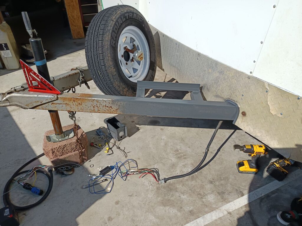
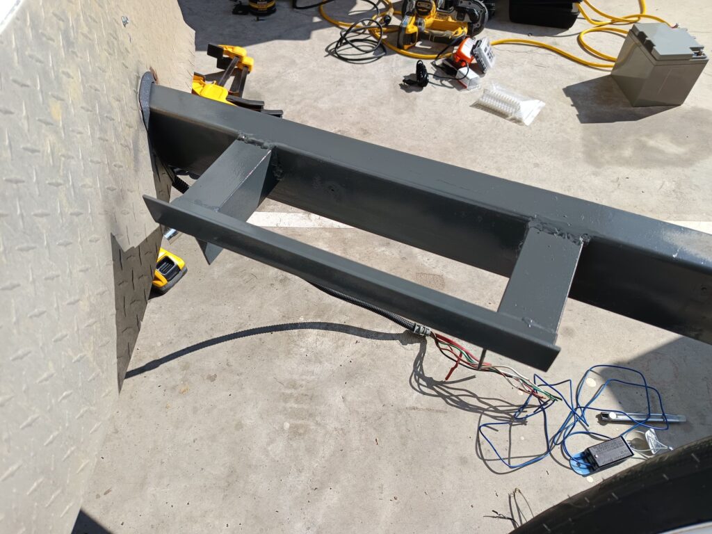
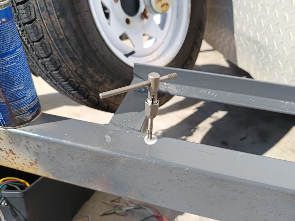
Started by welding a frame for new battery to the front of the trailer. Taped holes so I could use bolts without backer nuts.
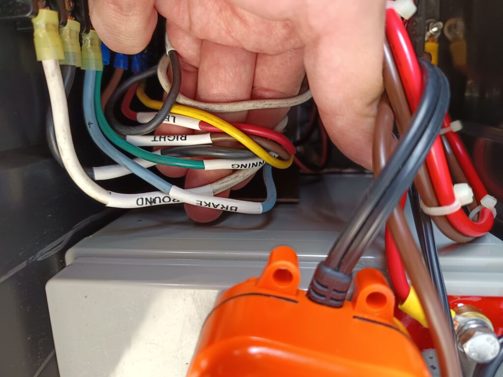
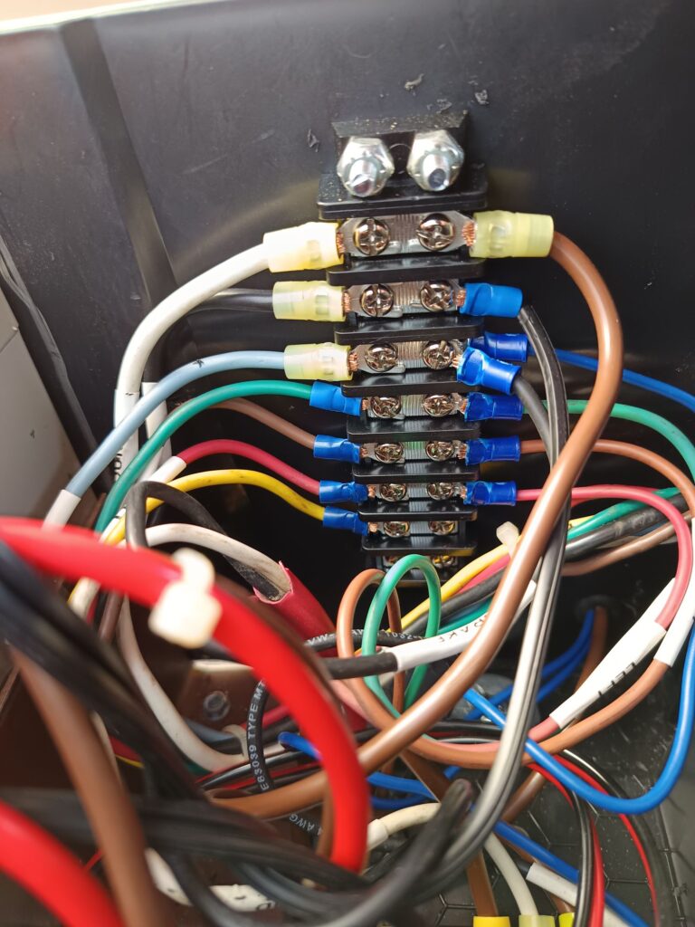
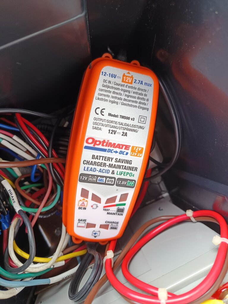
The battery box has enough room for added terminal block, fuse block, and 12v to 12v battery charger. The terminal block will make troubleshooting wiring issues easier. The fuse block prevents a failure in one circuit from disabling everything. The battery charger prevents the tow vehicle from being overloaded attempting to charge a dead battery. I added professional printed shrink wrap wire labels to help the next guy who has to work on this.
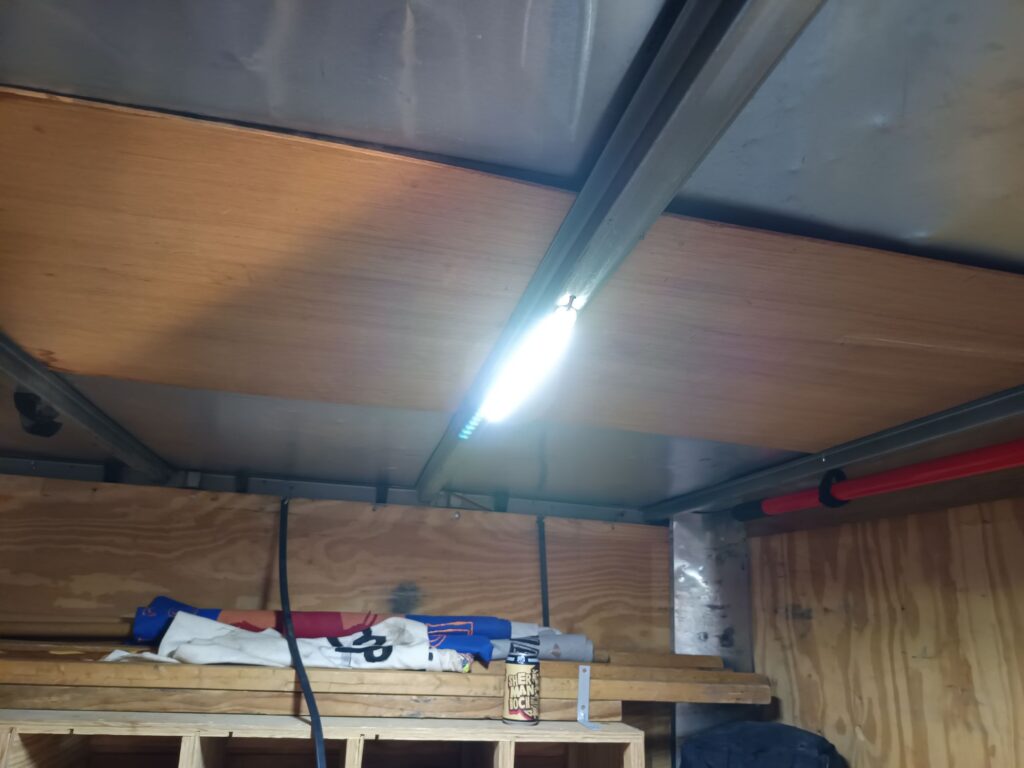
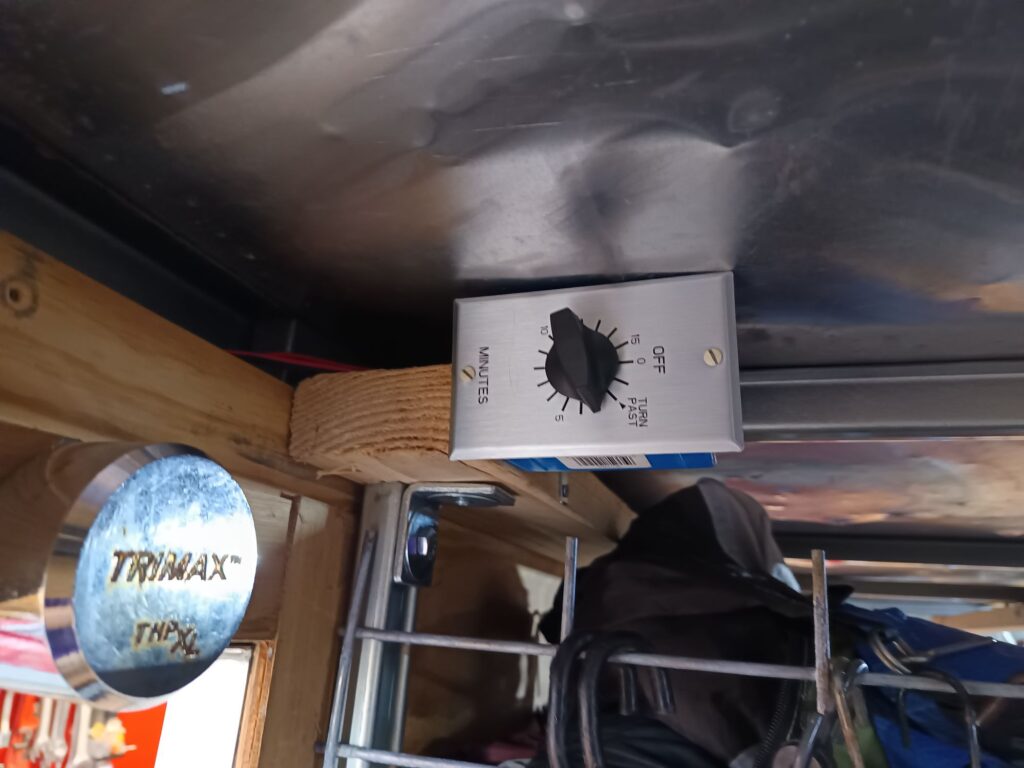
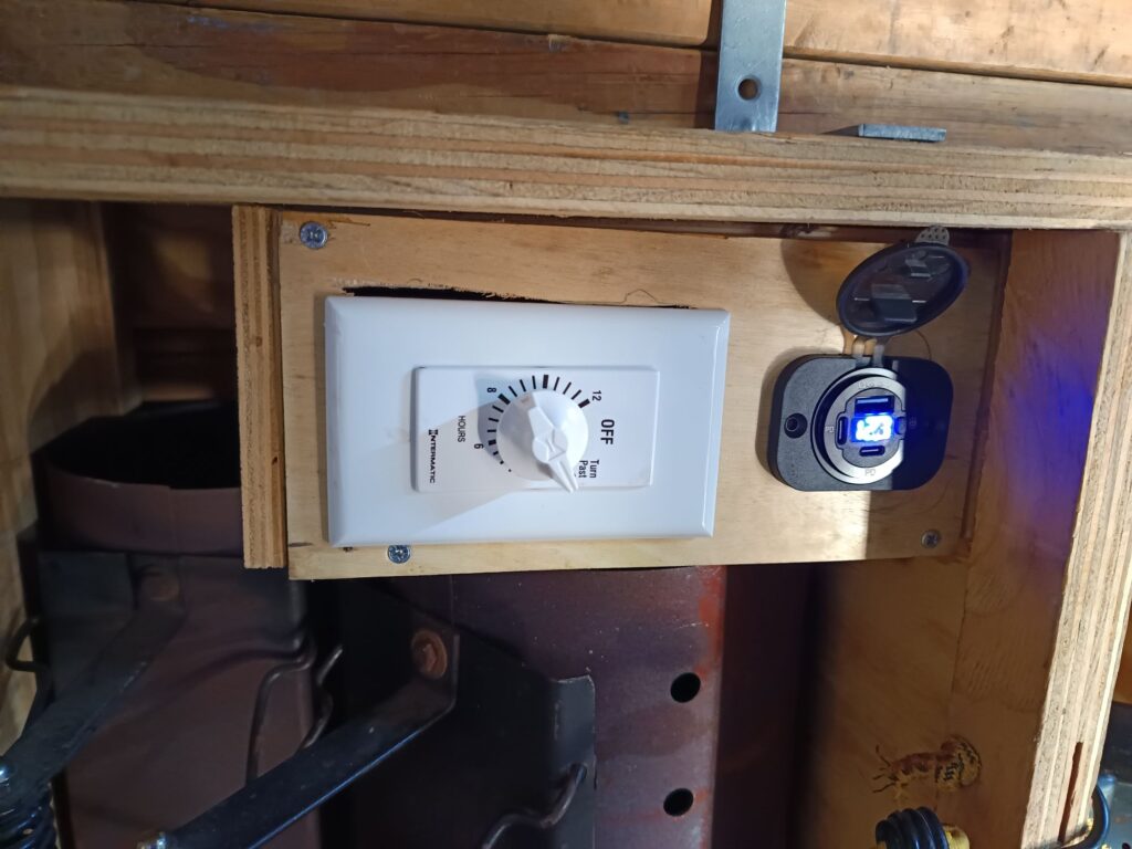
Inside the trailer are new led lights. The light switch is a mechanical 15 minute timer. This prevents the lights being left on and draining the battery.
We also added a 12 hr mechanical timer switch that powers a USB charger. This will be used to charge our tire inflator or cell phones. The usb outlet also displays the battery voltage so we can monitor the charge state.
We had some extra time at the boy scout shotgun range, so the boys gathered up some unused food and we shot at it. I was elected ‘best shot’ and ‘best choice to shoot stuff’. Here is a quick video of me shooting an egg and being cheered on by the crowd.
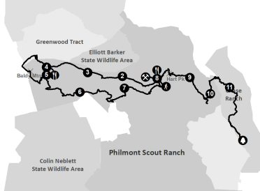
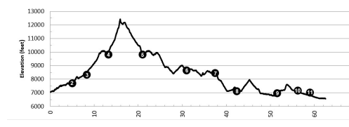
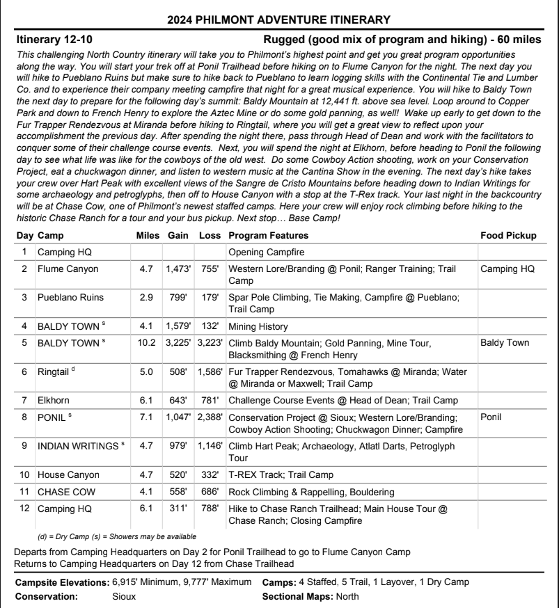
Bryson and I completed a 12-day backpacking trip at Philmont Scout Ranch. This was my first time visiting the ranch. I felt lucky to get to go, because I’ve heard stories from people who have worked or visited Philmont and everyone has good things to say about their experiences. The hikes (especially the elevation changes) can be very challenging, but the sites are beautiful, and the staff camps have fun activities like spar pole climbing, rock climbing, bouldering, cowboy action shooting, chuck wagon dinners, campfire shows and more.
Day 0
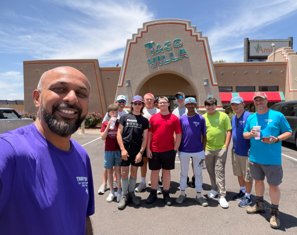
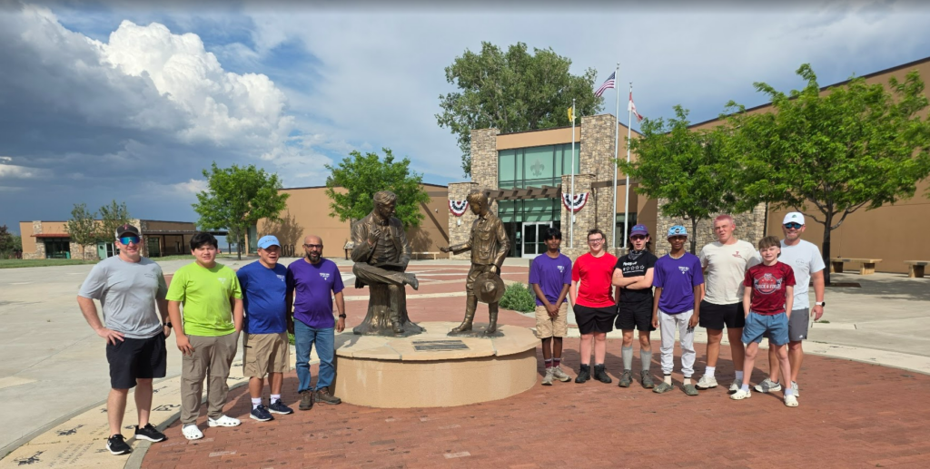
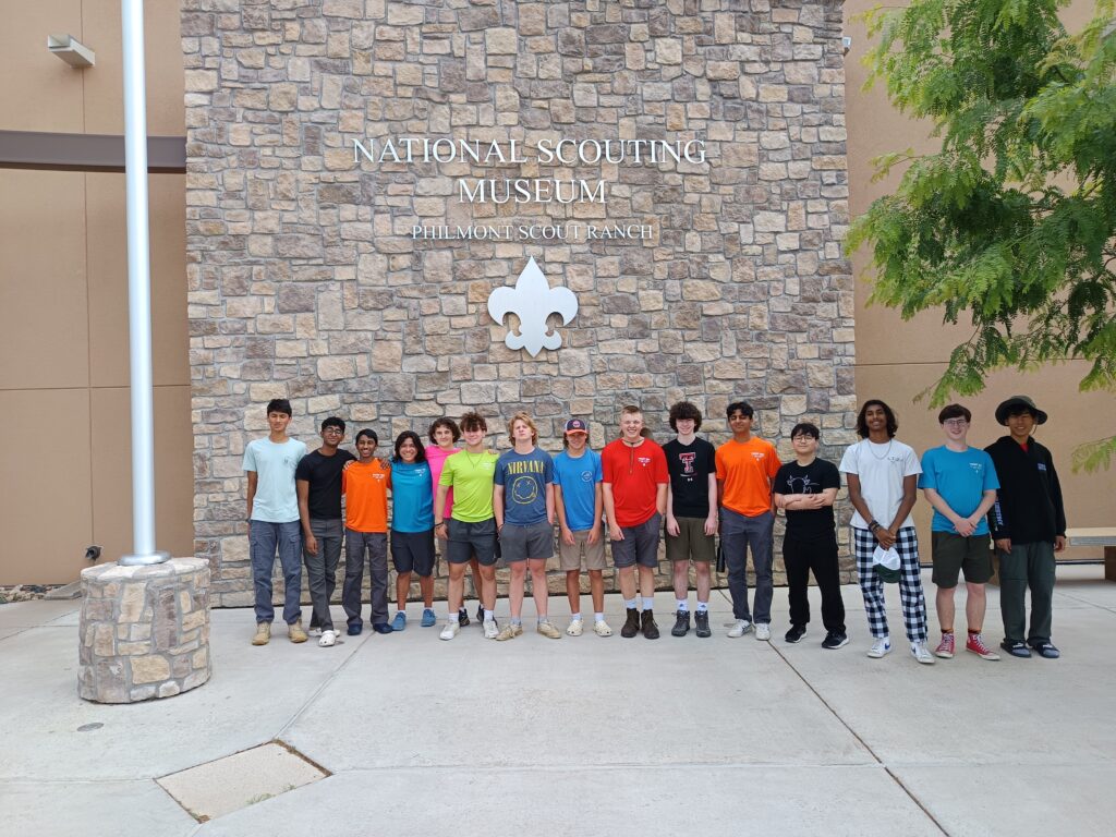
We arrived at base camp ‘a day early’, which was great because it gave us time to get unpacked, figure out how the dining hall operated, and get orientated. We stopped to eat at Taco Villa in Amarillo and toured the National Scout Museum when we arrived at Philmont.
Day 1
We met our ranger and she guided through meeting all the people and going the processes of getting checked in and approved to go on the trail. It was a day of “go walk over here and meet with this person”. My favorite part thing was the Tooth of Time Traders Store. This store was amazing! It is like REI that only has camping gear, but all the best of everything you need.
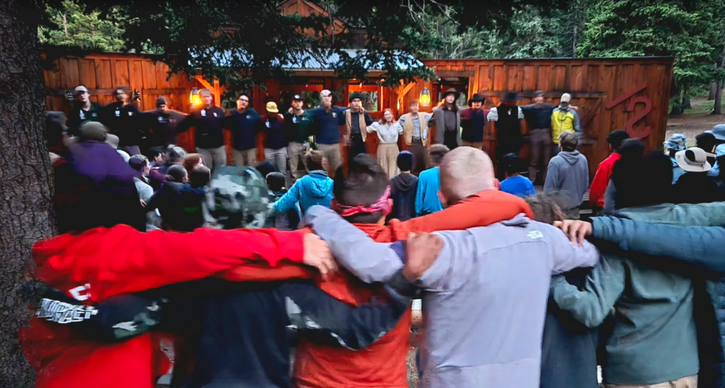
We rolled in yesterday about 5:00 and did some stuff like playing volleyball. Ultimately not much. We learned that you get to chant before meals. All I’ll say is seat-belt. This morning, after breakfast, we met our ranger, Bella. We spent the day going through the check-in process. Registration to meds to equipment check-out, back to our tents, to logistics planning meeting, then finally lunch. Crew STINKY stole our chant. They got to eat before us and seat belted and ruined our chant. They were promptly shunned. After lunch we had pack shakedowns, and assigned crew gear. I passed with flying colors. We then had some free time. I ate a delicious chocolate soft serve cone and then went to see cherry trees. They were in front of Villa Philmonte, Wade Phillips’ mansion. The cherries were very yummy. We then walked around the property and Mason tried to break in. I made him see reason. We are planning to do a tour on the way back. When we started walking back to camp it started raining. I forgot my rain jacket. NOT FUN. After dinner, we played some Volleyball, went to a church service, then opening campfire. I’m pretty tired writing this but ready to hit the trails tomorrow. Sleepy. -Bryson
Day 2
This was our first day of hiking. We started at Ponil Trailhead, went to Ponil for activities, then to Flume Canyon to set up camp for the night. I set up my tent amount a stand of trees and close the a stream and could hear the water flowing all night. It was an awesome place. A really skilled brander burned in the Philmont brand into my Nalgene bottle, then we did some roping and root beer drinking.
While trying to help my son with schoolwork, I searched for simple and cheap micro controller tutorial and found the ESP32 series of products. For $15, I bought a starter kit that included the micro controller on a development board, a nice OLED display, 10amp relay board, solderless breadboard, various sensors, LEDs, switches, resistors, and hookup wires. (It also included a non-functional USB cable that caused me some lost time)
A few things that stood out to me that made the ESP32 attractive were:
Can use the Arduino IDE, which means it has huge support and examples, and geared toward the beginner
Code is compatible with Arduino devices, which means all the existing projects built on Arduino devices can be used. (lots of these on the Internet)
Has wifi built in
Has bluetooth built in
Has lots of I/O pins that can be used for inputs, outputs, ADC, DAC, serial, etc.
inexpensive
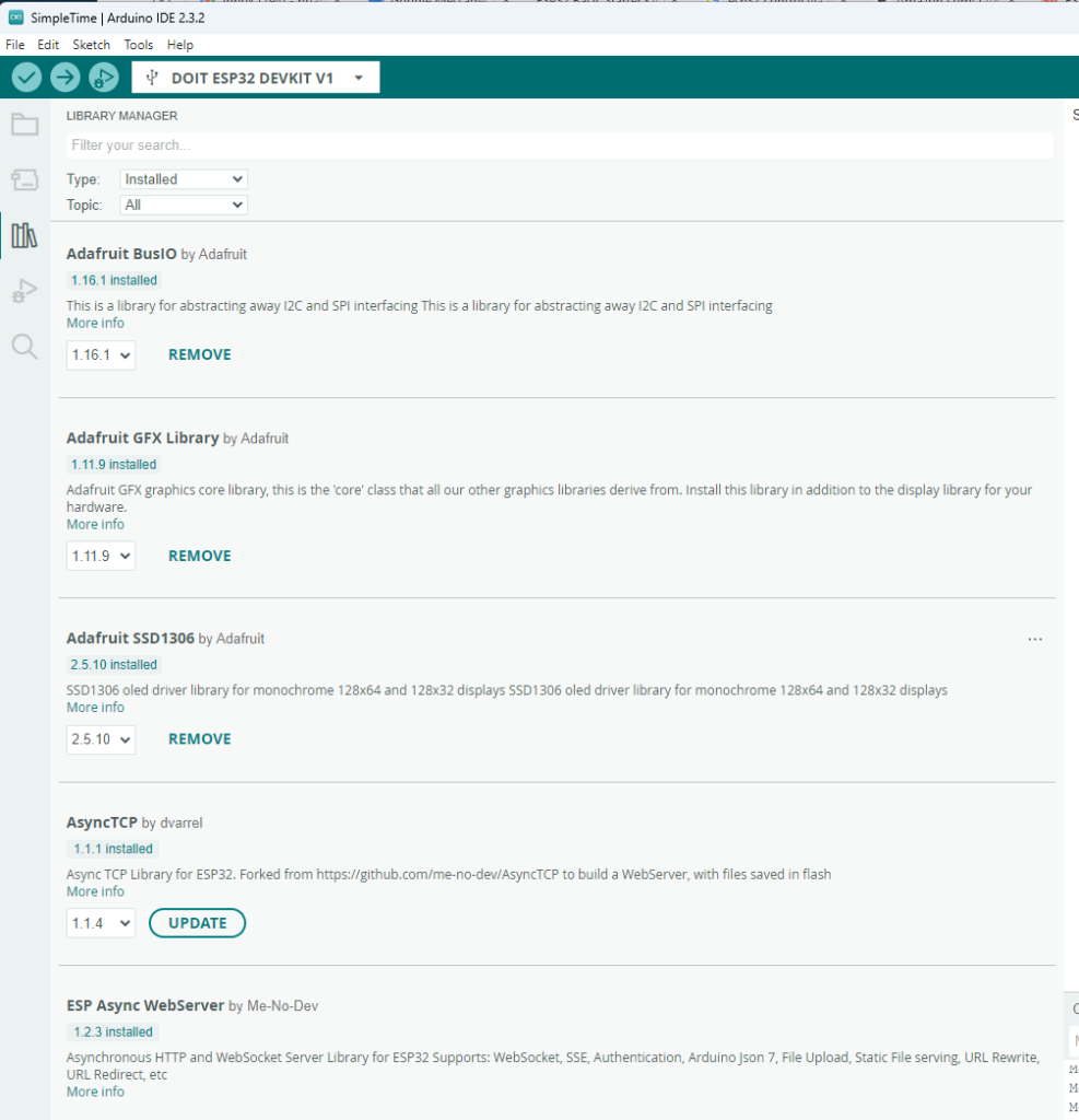
I was amazed at how fast and easy it was to get started. The development board is powered from the USB port of your computer, and requires no additional wiring to load programs. The hardest thing is adding in ESP32 library to the standard Arduino IDE, which is as simple as searching and clicking “install”.
Libraries added to Arduino IDE to expand functionality.
When libraries are installed, lots of example projects are imported and show up in the File > Examples menu. This was super useful!
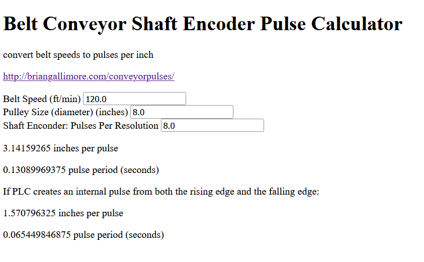
I created a simple webpage using javascript that calculates some key data given conveyor speed, pulley size, and PPR resolution settings. It is live at briangallimore.com/conveyorpulses